Transport Functions
Road
Multimodal
Hub Profile
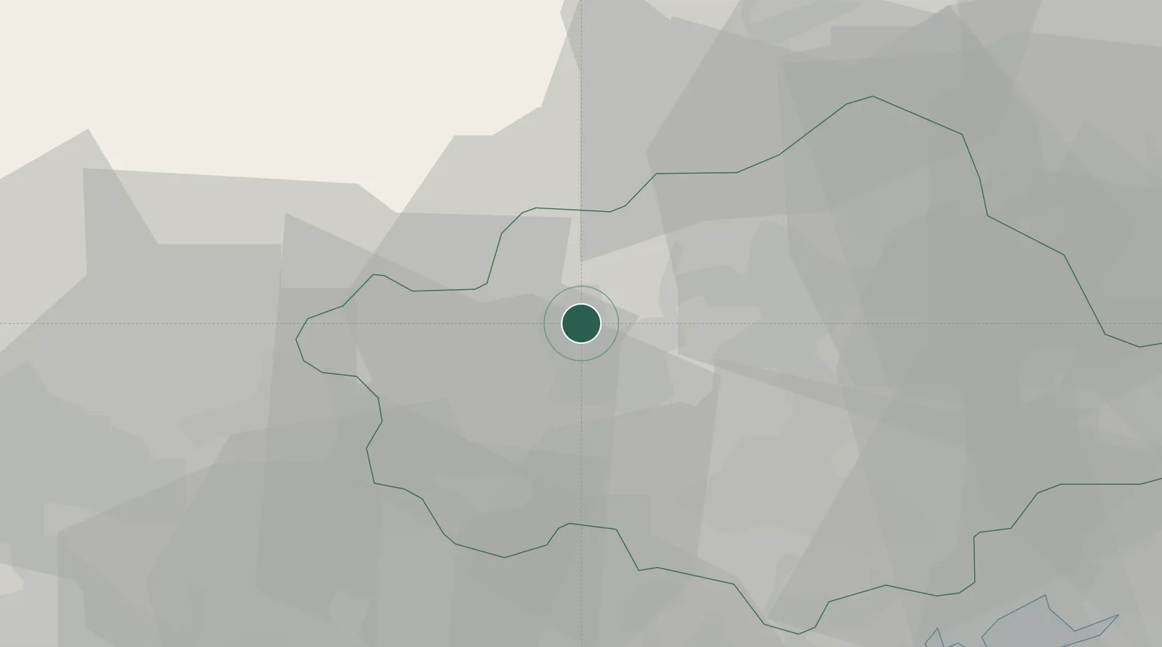
Place type
District seat
Region
Veneto
Population
3,509
Time zone
Europe/Rome
Elevation
152 m
Location
Nearby Logistics Neighbours
Cities
- 1Crocetta del Montello2 km
- 2Mosnigo3 km
- 3Onigo4 km
- 4Volpago del Montello10 km
- 5Cavaso del Tomba12 km
Ports
- 1Porto Di Lido-Venezia57 km
- 2Porto Di Chioggia72 km
- 3Nogaro89 km
- 4Grado100 km
- 5Monfalcone118 km
Airports
- 1Istrana Air Base19 km
- 2Treviso Airport26 km
- 3Venice Marco Polo Airport46 km
- 4Aviano Air Base48 km
- 5Padova Gino Allegri Airfield53 km
Trade Zones
DatabookThe Record of Consolidated Knowledge
Italy beyond logistics?