Transport Functions
Road
Multimodal
Hub Profile
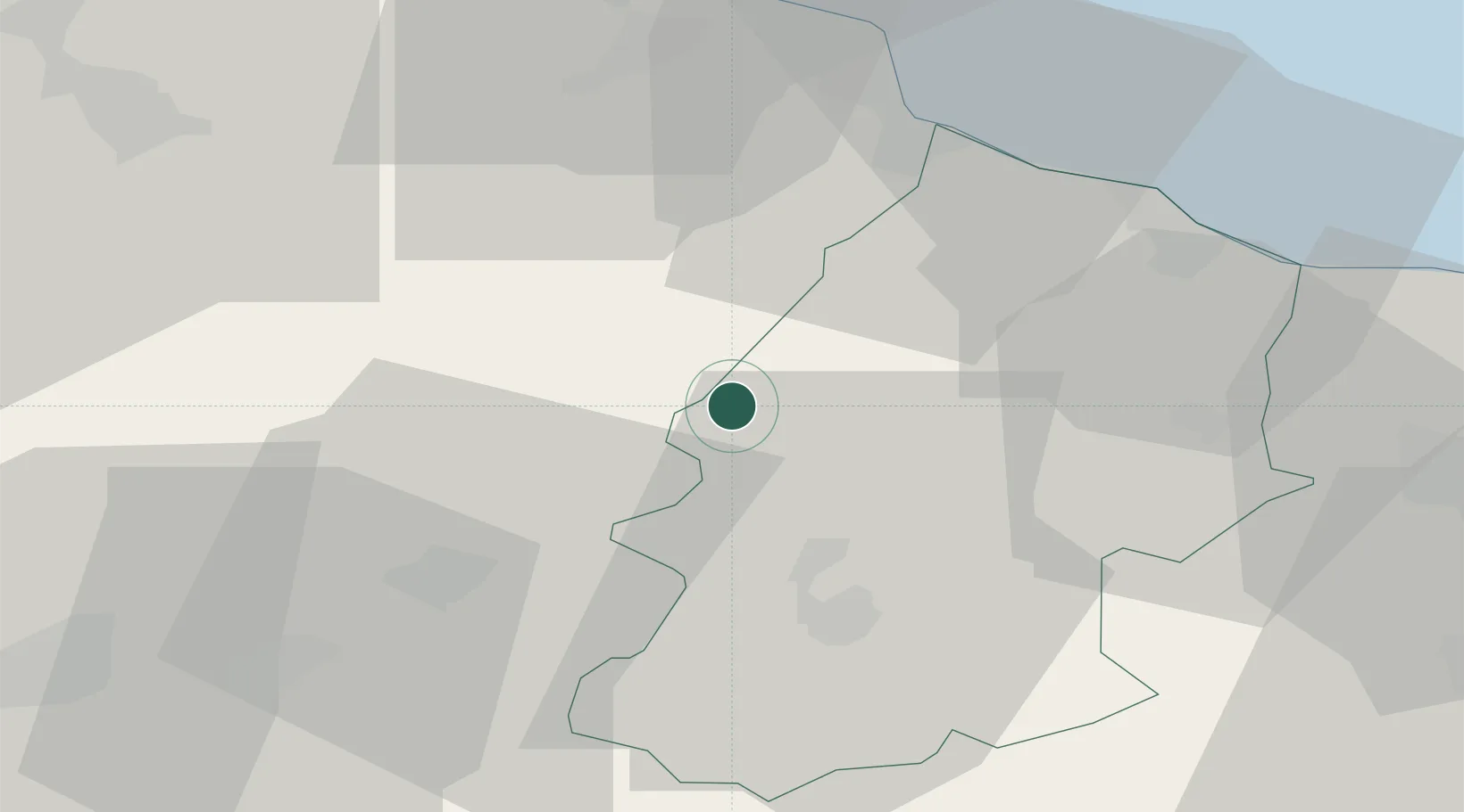
Place type
District seat
Region
Molise
Population
1,804
Time zone
Europe/Rome
Elevation
599 m
Location
Nearby Logistics Neighbours
Cities
- 1Ripalimosani21 km
- 2Gissi26 km
- 3Isernia30 km
- 4Sant'Elia a Pianisi31 km
- 5Pettoranello33 km
Airports
- 1Abruzzo Airport78 km
- 2San Domino Island Heliport86 km
- 3Grazzanise Air Base89 km
- 4Foggia Gino Lisa Airport91 km
- 5Amendola Air Base101 km
DatabookThe Record of Consolidated Knowledge
Italy beyond logistics?