Transport Functions
Multimodal
Hub Profile
Place type
Urban district
Region
Calabria
Population
1,086
Time zone
Europe/Rome
Elevation
104 m
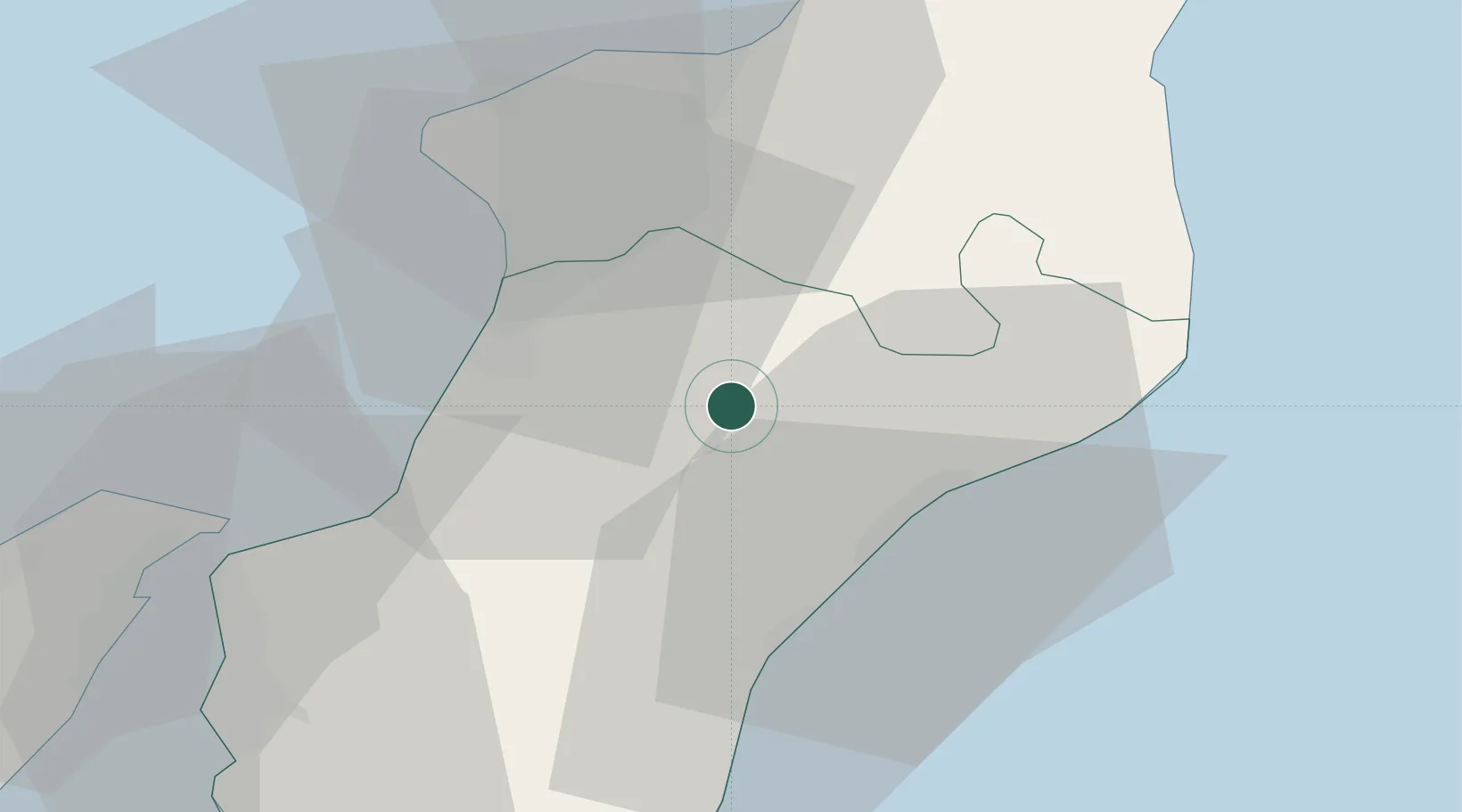
Location
Nearby Logistics Neighbours
Cities
- 1Polistena6 km
- 2Cinquefrondi6 km
- 3Melicucco8 km
- 4Taurianova11 km
- 5Gioiosa Ionica16 km
Ports
- 1Gioia Tauro22 km
- 2Vibo Valentia Marina38 km
- 3Villa San Giovanni47 km
- 4Reggio Di Calabria51 km
- 5Messina54 km
Airports
Trade Zones
DatabookThe Record of Consolidated Knowledge
Italy beyond logistics?