Transport Functions
Road
Multimodal
Hub Profile
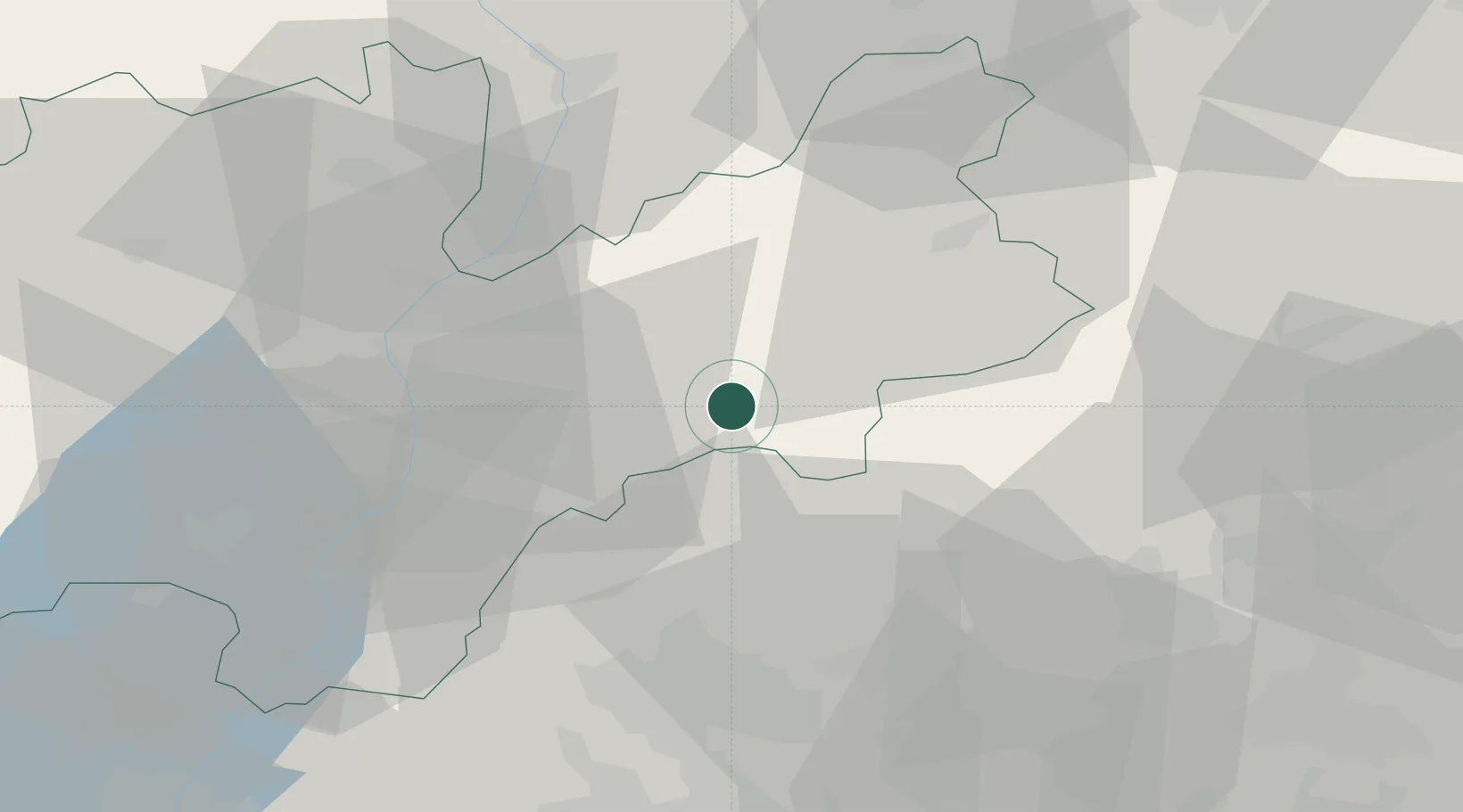
Place type
District seat
Region
Trentino-Alto Adige
Population
1,199
Time zone
Europe/Rome
Elevation
375 m
Location
Nearby Logistics Neighbours
Cities
- 1Grigno11 km
- 2Caldonazzo23 km
- 3Pedemonte24 km
- 4Tesero24 km
- 5Ziano di Fiemme25 km
Ports
- 1Porto Di Lido-Venezia101 km
- 2Porto Di Chioggia111 km
- 3Nogaro132 km
- 4Grado144 km
- 5Monfalcone160 km
Airports
- 1Trento-Mattarello Airport31 km
- 2Bolzano Airport46 km
- 3Istrana Air Base61 km
- 4Treviso Airport70 km
- 5Padova Gino Allegri Airfield79 km
Trade Zones
DatabookThe Record of Consolidated Knowledge
Italy beyond logistics?