Transport Functions
Port
Road
Hub Profile
Place type
District seat
Region
Sicily
Population
28,666
Time zone
Europe/Rome
Elevation
40 m
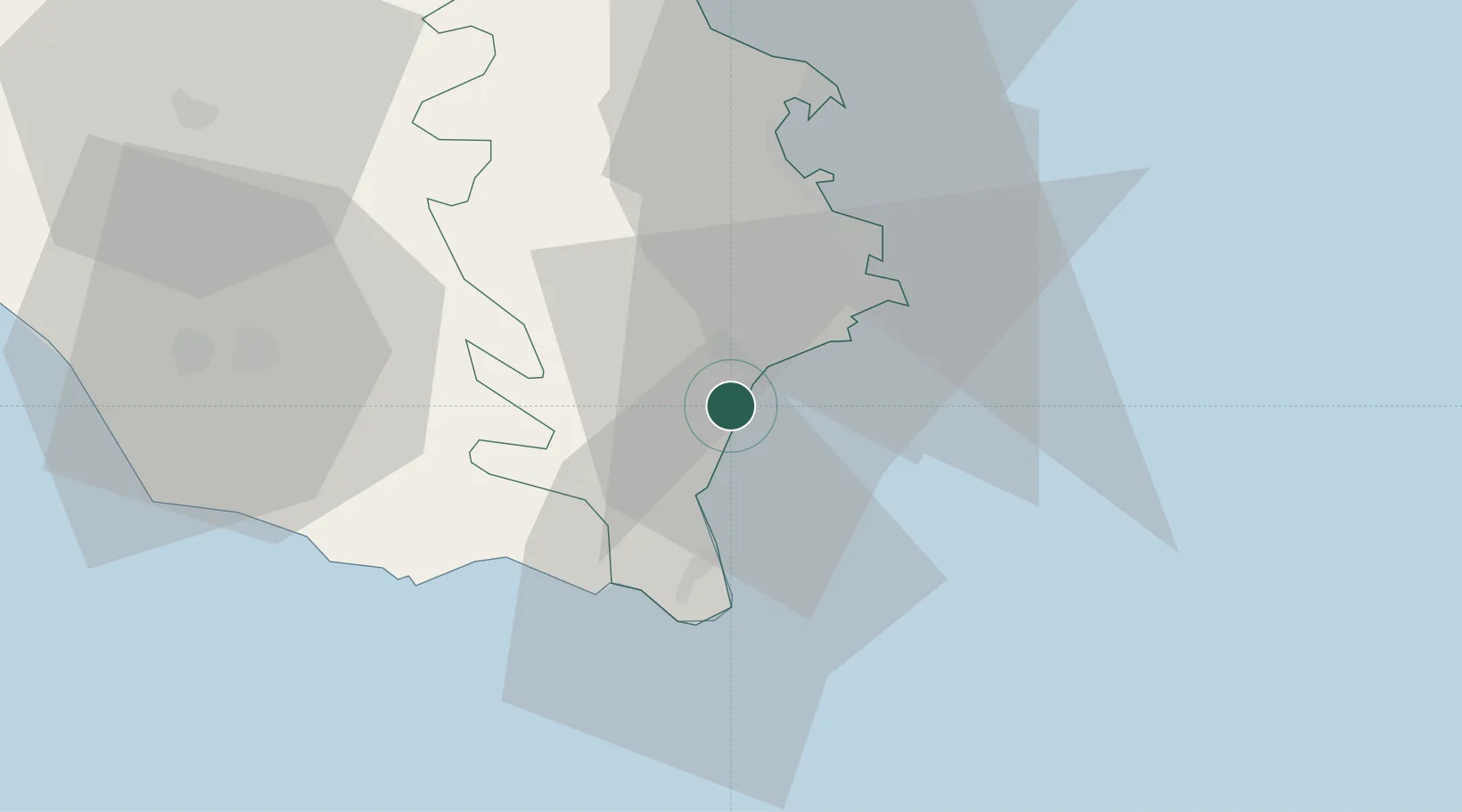
Location
Nearby Logistics Neighbours
Ports
- 1Siracusa21 km
- 2Santa Panagia24 km
- 3Pozzallo32 km
- 4Augusta36 km
- 5Catania67 km
Airports
- 1Comiso Airport48 km
- 2Sigonella Navy Air Base59 km
- 3Catania-Fontanarossa Airport63 km
- 4Xewkija Heliport124 km
- 5Malta International Airport131 km
Trade Zones
DatabookThe Record of Consolidated Knowledge
Italy beyond logistics?