Transport Functions
Port
Rail
Road
Hub Profile
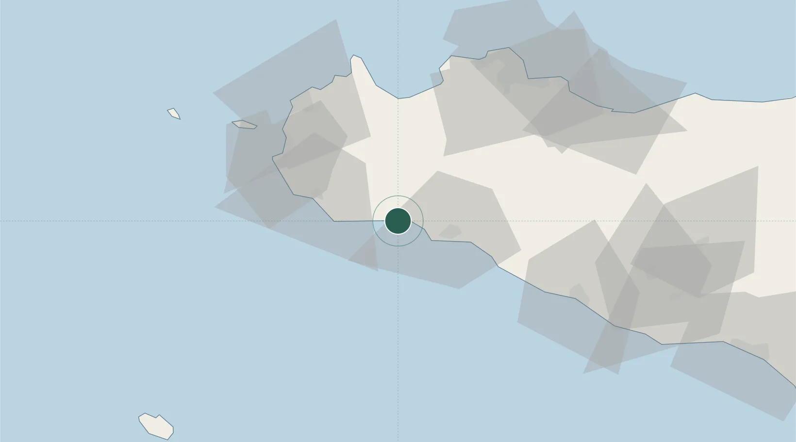
Place type
Populated place
Region
Sicily
Population
116
Time zone
Europe/Rome
Elevation
20 m
Location
Nearby Logistics Neighbours
Cities
- 1Marinella di Selinunte10 km
- 2Sciacca14 km
- 3Campobello di Mazara15 km
- 4Partanna17 km
- 5Mazara del Vallo29 km
Ports
- 1Sciacca17 km
- 2Mazara Del Vallo29 km
- 3Marsala48 km
- 4Castellammare Del Golfo52 km
- 5Trapani60 km
Airports
- 1Vincenzo Florio Airport Trapani-Birgi53 km
- 2Falcone–Borsellino Airport70 km
- 3Palermo-Boccadifalco Airport71 km
- 4Pantelleria Airport117 km
- 5Comiso Airport164 km
Trade Zones
DatabookThe Record of Consolidated Knowledge
Italy beyond logistics?