Transport Functions
Port
Hub Profile
Place type
District seat
Region
Sicily
Population
4,263
Time zone
Europe/Rome
Elevation
44 m
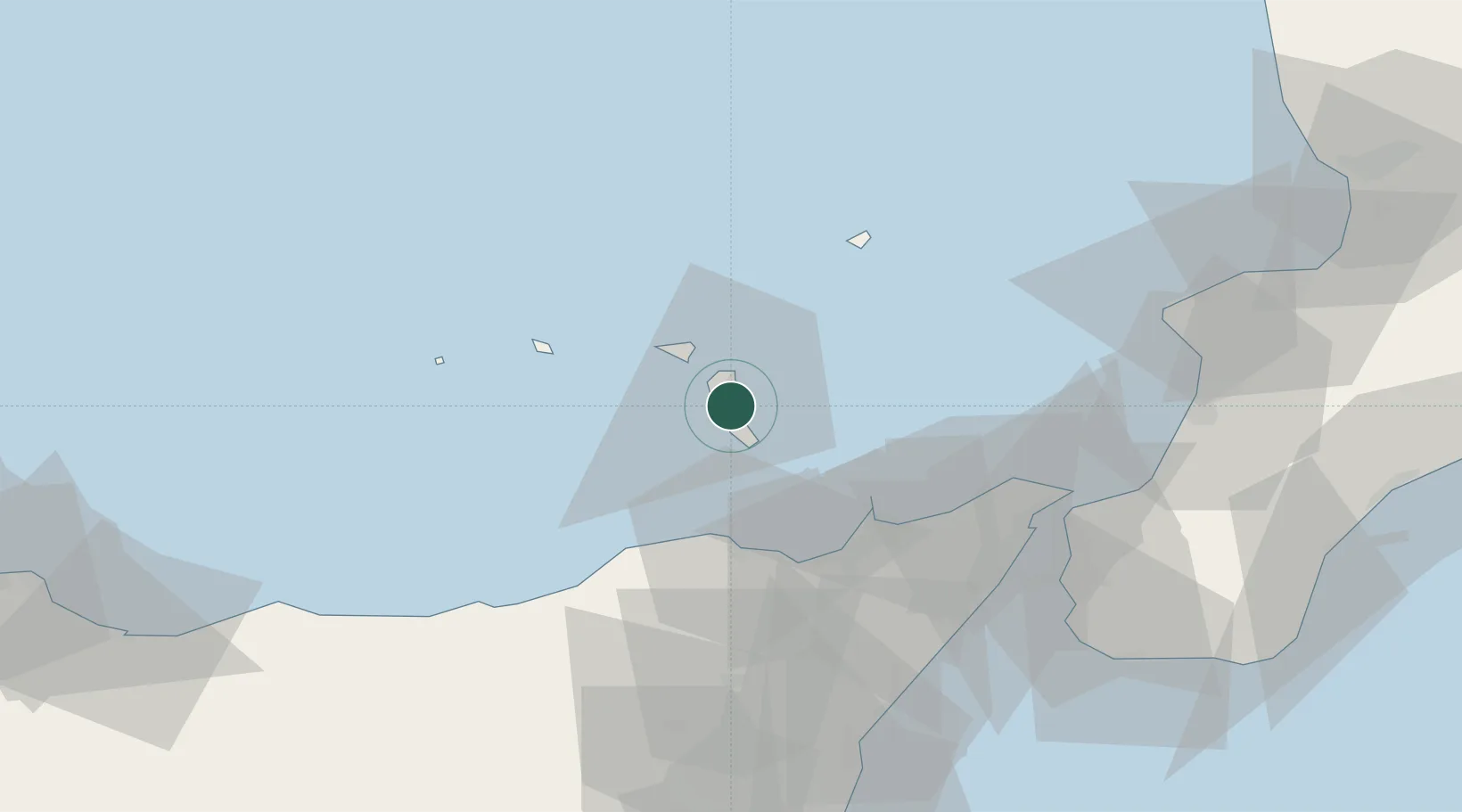
Location
Nearby Logistics Neighbours
Cities
- 1Rinella14 km
- 2Santa Marina Salina15 km
- 3Gioiosa Marea32 km
- 4Brolo35 km
- 5Patti35 km
Ports
- 1Milazzo37 km
- 2Messina61 km
- 3Villa San Giovanni65 km
- 4Reggio Di Calabria71 km
- 5Giardini Naxos75 km
Airports
DatabookThe Record of Consolidated Knowledge
Italy beyond logistics?