UN/LOCODE hub · Italy
ITSLA
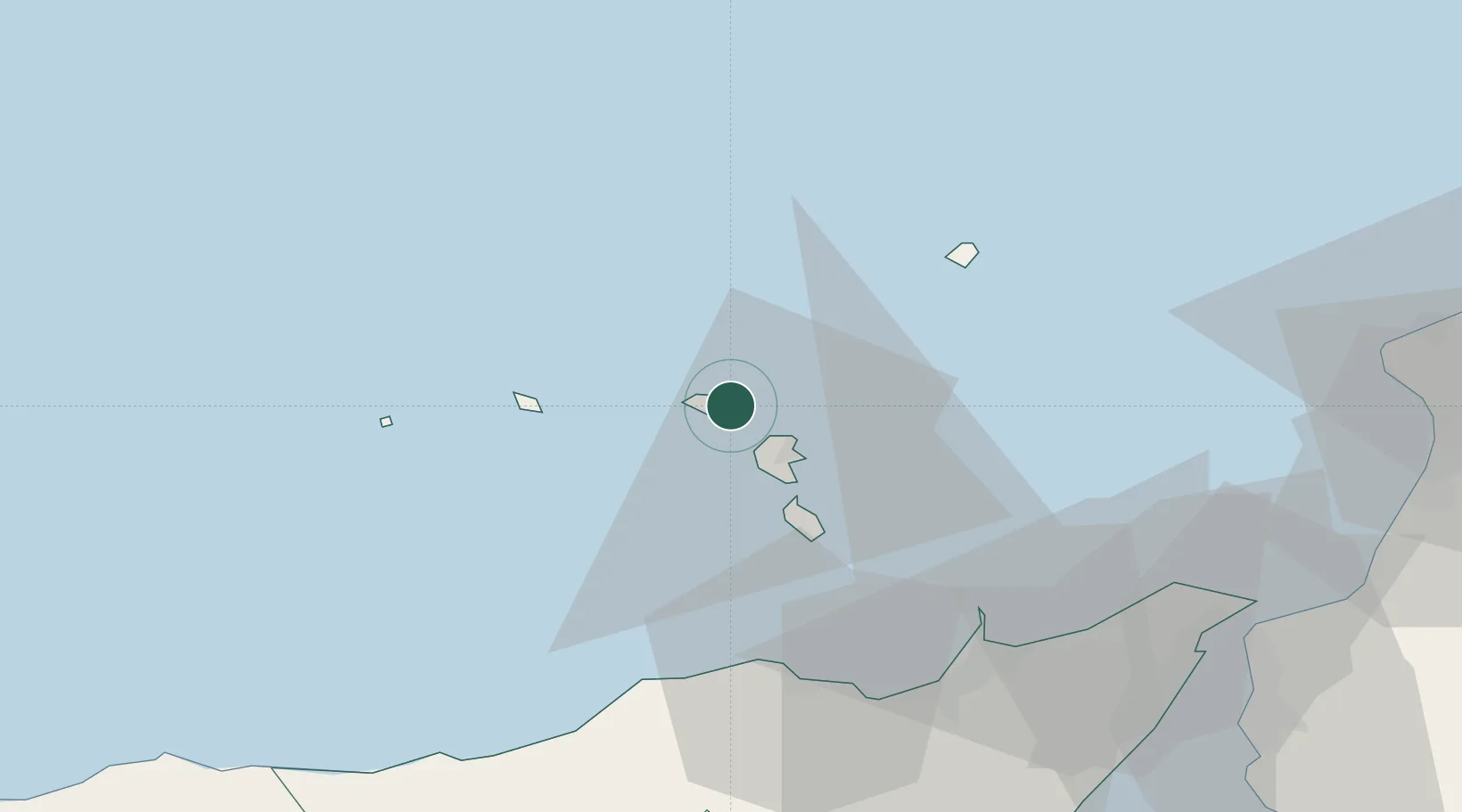
Santa Marina Salina
38.5667°, 14.8667°
630
Population
2
Transport functions
Transport Functions
Port
Road
Hub Profile
Place type
District seat
Region
Sicily
Population
630
Time zone
Europe/Rome
Elevation
25 m
Location
Nearby Logistics Neighbours
Cities
- 1Rinella5 km
- 2Lipari15 km
- 3Gioiosa Marea45 km
- 4Capo d'Orlando46 km
- 5Brolo46 km
Ports
- 1Lipari13 km
- 2Milazzo51 km
- 3Messina73 km
- 4Villa San Giovanni77 km
- 5Reggio Di Calabria84 km
Airports
DatabookThe Record of Consolidated Knowledge
Italy beyond logistics?