Transport Functions
Port
Hub Profile
Place type
Populated place
Region
Sicily
Population
122
Time zone
Europe/Rome
Elevation
24 m
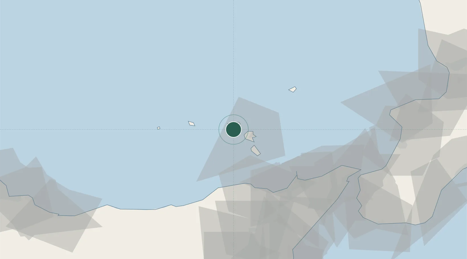
Location
Nearby Logistics Neighbours
Cities
- 1Santa Marina Salina5 km
- 2Lipari14 km
- 3Gioiosa Marea41 km
- 4Capo d'Orlando41 km
- 5Brolo43 km
Ports
- 1Lipari13 km
- 2Milazzo51 km
- 3Messina74 km
- 4Villa San Giovanni78 km
- 5Reggio Di Calabria84 km
Airports
DatabookThe Record of Consolidated Knowledge
Italy beyond logistics?