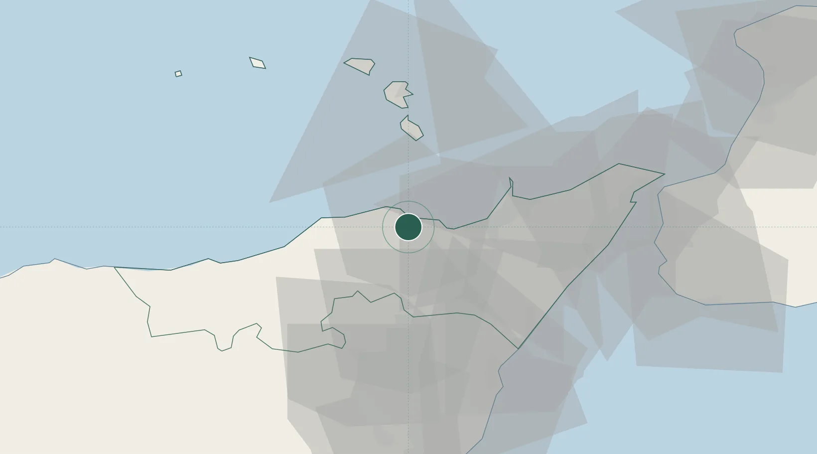
UN/LOCODE hub · Italy
ITPTI

Patti

38.1333°, 14.9667°
9,321
Population
2
Transport functions

Transport Functions

Port
Road
UN/LOCODE

Hub Profile

Place type
District seat
GeoNames
Region
Sicily
GeoNames
Population
9,321
GeoNames
Time zone
Europe/Rome
GeoNames
Elevation
157 m
GeoNames

Location

Location of ITPTI
Natural Earth 10m (public domain) · Sicily · ITPTI · 38.13, 14.97GoogleOSMYandex

Nearby Logistics Neighbours

Cities
  1. 1Gioiosa Marea7 km
  2. 2Brolo12 km
  3. 3Terme Vigliatore18 km
  4. 4Capo d'Orlando19 km
  5. 5Mirto20 km
Nearest neighbours — logibook spatial index (haversine) over the source coordinates
Ports
  1. 1Milazzo26 km
  2. 2Lipari39 km
  3. 3Giardini Naxos43 km
  4. 4Riposta49 km
  5. 5Messina53 km
Nearest neighbours — logibook spatial index (haversine) over the source coordinates
Airports
  1. 1Reggio Calabria Airport60 km
  2. 2Catania-Fontanarossa Airport75 km
  3. 3Sigonella Navy Air Base81 km
  4. 4Comiso Airport130 km
  5. 5Lamezia Terme Sant'Eufemia International Airport141 km
Nearest neighbours — logibook spatial index (haversine) over the source coordinates
Trade Zones
  1. 1Sicily Special Economic Zone Area88 km
  2. 2Calabria Special Economic Zone171 km
  3. 3Malta Freeport261 km
  4. 4Basilicata Special Economic Zone270 km
  5. 5Campania Special Economic Zone (Naples and Salerno)311 km
Nearest neighbours — logibook spatial index (haversine) over the source coordinates
DatabookThe Record of Consolidated Knowledge
Italy beyond logistics?
Browse databook

All Sources

LocationsUN/LOCODE
UN/LOCODE — free
LocationsGeoNames
CC BY 4.0
Portsthe NGA World Port Index
Public domain (US gov)
AirportsOurAirports
Public domain
Trade Zonesthe World Bank SEZ database
CC BY 4.0
Trade ZonesOpen Zone Map
CC BY
← Italy locations