Transport Functions
Multimodal
Hub Profile
Region
TV
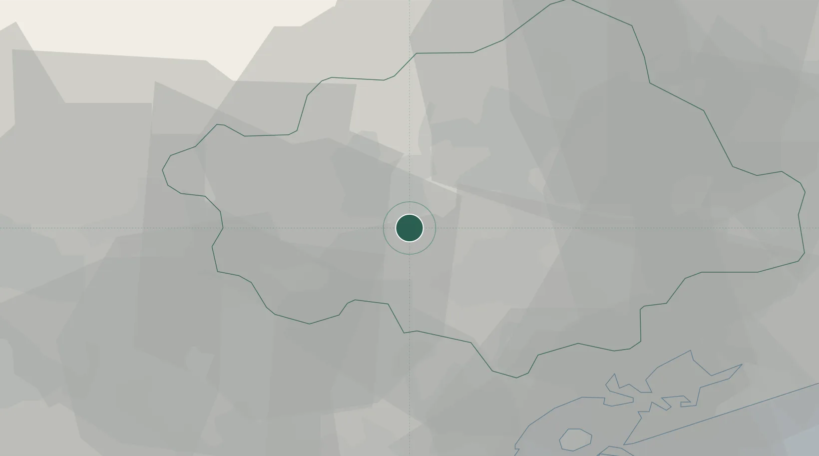
Location
Nearby Logistics Neighbours
Cities
- 1Volpago del Montello4 km
- 2Castagnole9 km
- 3Fanzolo10 km
- 4Vedelago10 km
- 5Crocetta del Montello11 km
Ports
- 1Porto Di Lido-Venezia45 km
- 2Porto Di Chioggia60 km
- 3Nogaro83 km
- 4Grado93 km
- 5Monfalcone113 km
Airports
- 1Istrana Air Base7 km
- 2Treviso Airport14 km
- 3Venice Marco Polo Airport34 km
- 4Padova Gino Allegri Airfield44 km
- 5Aviano Air Base50 km
Trade Zones
DatabookThe Record of Consolidated Knowledge
Italy beyond logistics?