UN/LOCODE hub · United Kingdom
GBZBI
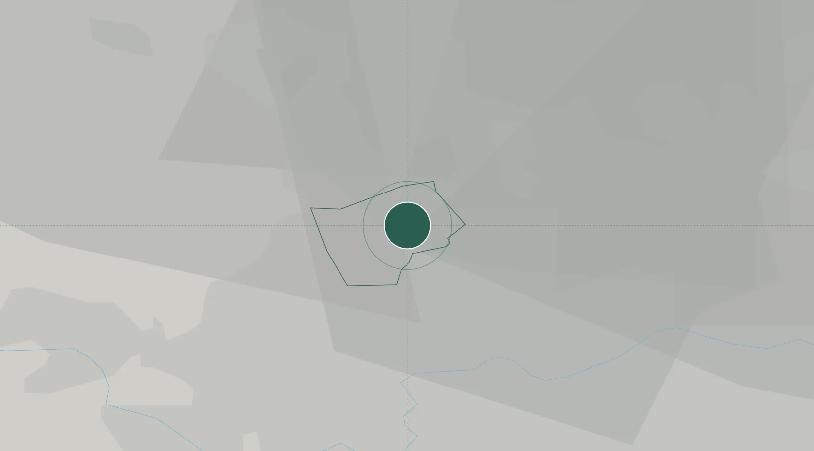
Harrow Weald
51.6000°, -0.3167°
14,300
Population
1
Transport functions
Transport Functions
Multimodal
Hub Profile
Place type
Populated place
Region
England
Population
14,300
Time zone
Europe/London
Elevation
96 m
Location
Nearby Logistics Neighbours
Cities
- 1Walthamstow1 km
- 2Harrow on the Hill4 km
- 3Wembley6 km
- 4Aldenham8 km
- 5Alperton8 km
Ports
- 1London20 km
- 2Tilbury47 km
- 3Gravesend50 km
- 4Chatham Docks64 km
- 5Isle Of Grain73 km
Airports
- 1RAF Northolt9 km
- 2London Heathrow Airport18 km
- 3London City Airport28 km
- 4London Luton Airport31 km
- 5London Biggin Hill Airport39 km
Trade Zones
DatabookThe Record of Consolidated Knowledge
United Kingdom beyond logistics?