Transport Functions
Road
Multimodal
Hub Profile
Place type
Populated place
Region
England
Time zone
Europe/London
Elevation
84 m
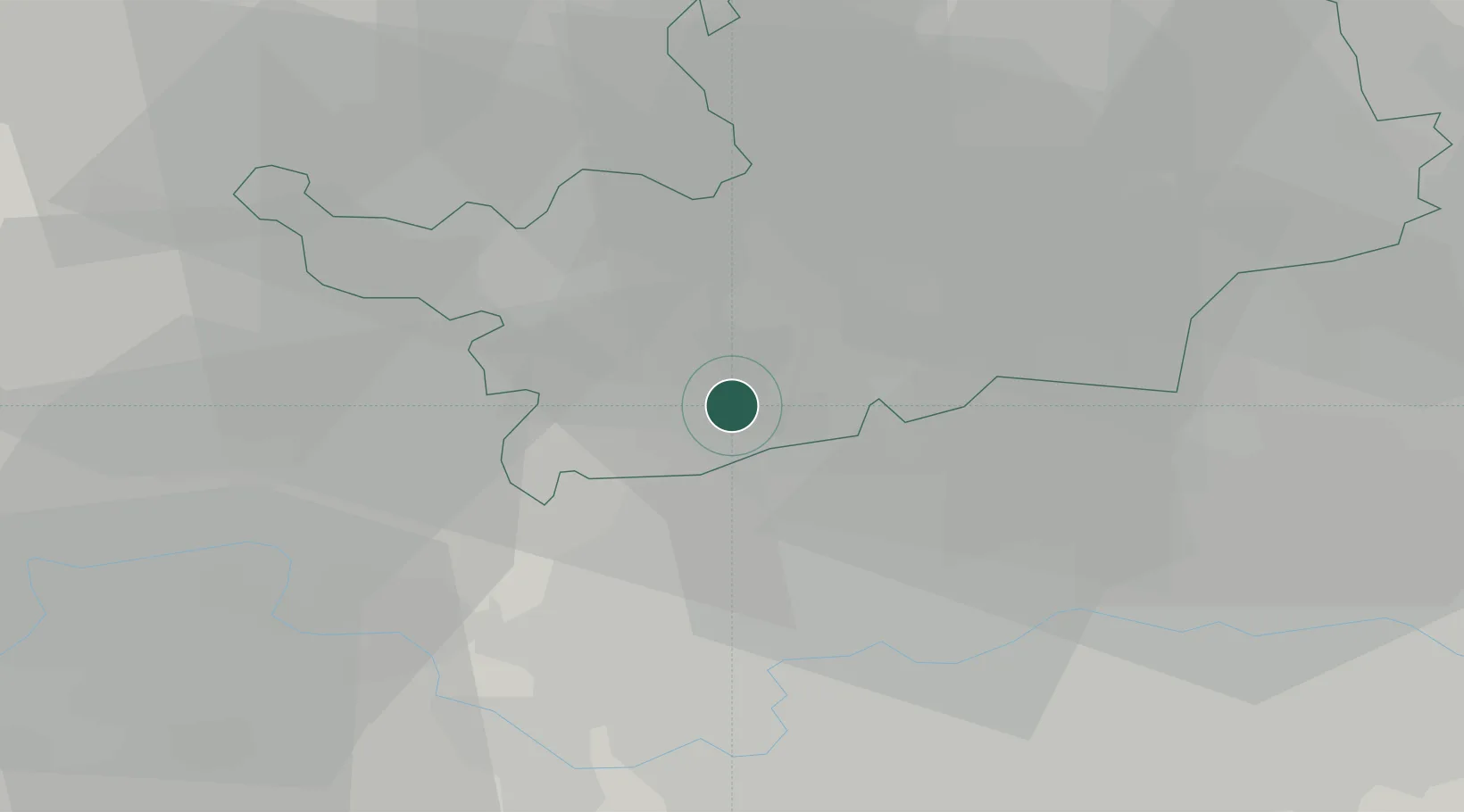
Location
Nearby Logistics Neighbours
Cities
- 1Walthamstow8 km
- 2Harrow Weald8 km
- 3Barnet11 km
- 4Saint Albans11 km
- 5Harrow on the Hill11 km
Ports
- 1London26 km
- 2Tilbury52 km
- 3Gravesend55 km
- 4Chatham Docks69 km
- 5Isle Of Grain77 km
Airports
- 1RAF Northolt14 km
- 2London Heathrow Airport23 km
- 3London Luton Airport23 km
- 4London City Airport33 km
- 5London Biggin Hill Airport46 km
Trade Zones
DatabookThe Record of Consolidated Knowledge
United Kingdom beyond logistics?