UN/LOCODE hub · France
FRCL5

Chasselas

46.2833°, 4.7167°
165
Population
1
Transport functions

Transport Functions

Multimodal
UN/LOCODE

Hub Profile

Place type
Populated place
GeoNames
Region
Bourgogne
GeoNames
Population
165
GeoNames
Time zone
Europe/Paris
GeoNames
Elevation
325 m
GeoNames

Location

Location of FRCL5
Natural Earth 10m (public domain) · Bourgogne · FRCL5 · 46.28, 4.72GoogleOSMYandex

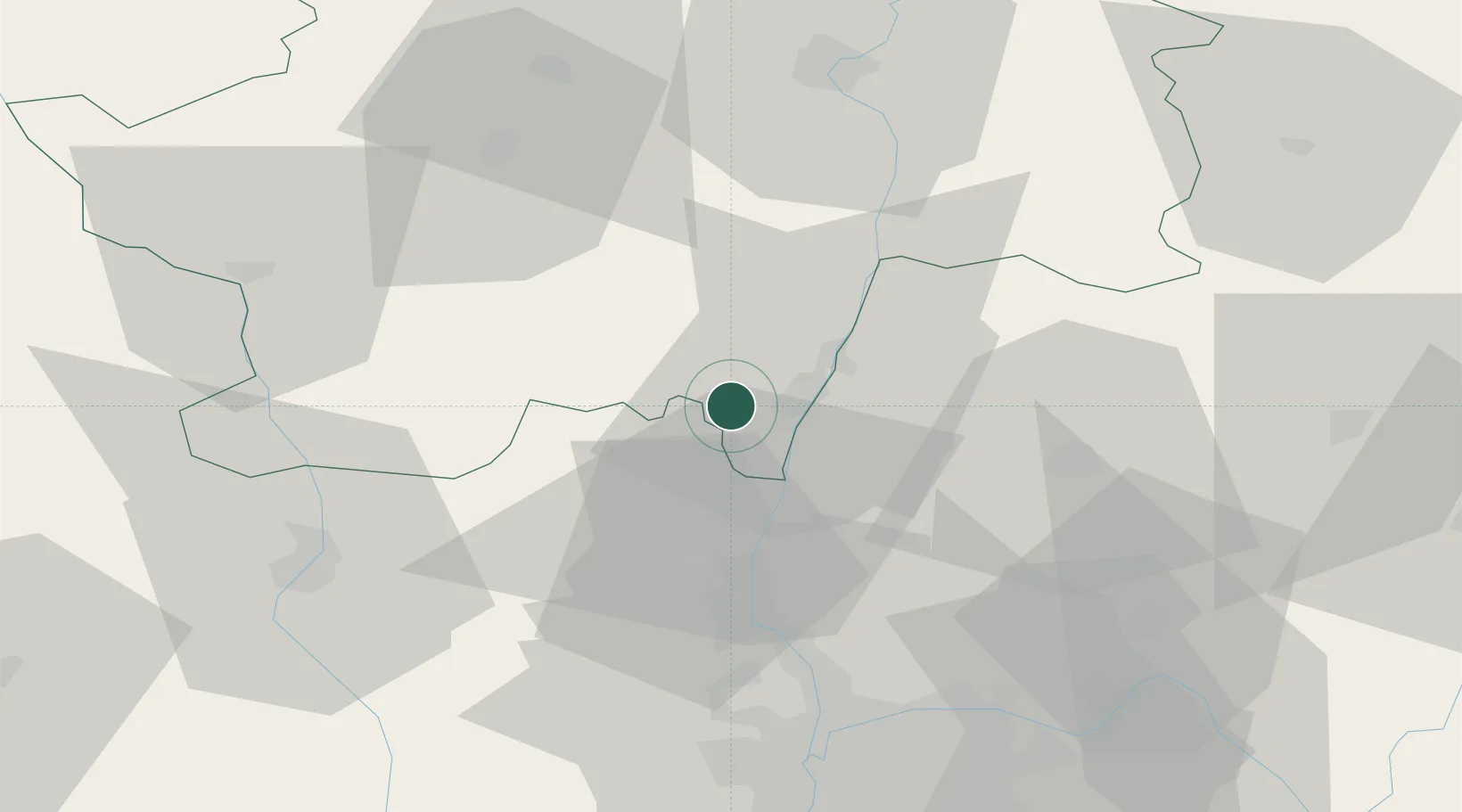
Nearby Logistics Neighbours

Cities
  1. 1Leynes2 km
  2. 2Solutré-Pouilly2 km
  3. 3Vergisson2 km
  4. 4Davayé2 km
  5. 5Le Martelet2 km
Nearest neighbours — logibook spatial index (haversine) over the source coordinates
Ports
  1. 1Fos319 km
  2. 2Port-de-Bouc321 km
  3. 3Port Saint Louis Du Rhone323 km
  4. 4Sete331 km
  5. 5Marseille334 km
Nearest neighbours — logibook spatial index (haversine) over the source coordinates
Airports
  1. 1Mâcon-Charnay Airfield6 km
  2. 2Saint-Yan Airport56 km
  3. 3Ambérieu Air Base (BA 278)58 km
  4. 4Roanne-Renaison Airport61 km
  5. 5Lyon Bron Airport64 km
Nearest neighbours — logibook spatial index (haversine) over the source coordinates
Trade Zones
  1. 1ZFU Rillieux-la-Pape52 km
  2. 2ZFU Lyon 9e57 km
  3. 3ZFU Vaulx-en-Velin58 km
  4. 4ZFU Vénissieux66 km
  5. 5ZFU Saint-Etienne101 km
Nearest neighbours — logibook spatial index (haversine) over the source coordinates
DatabookThe Record of Consolidated Knowledge
France beyond logistics?
Browse databook

All Sources

LocationsUN/LOCODE
UN/LOCODE — free
LocationsGeoNames
CC BY 4.0
Portsthe NGA World Port Index
Public domain (US gov)
AirportsOurAirports
Public domain
Trade Zonesthe World Bank SEZ database
CC BY 4.0
Trade ZonesOpen Zone Map
CC BY
← France locations