UN/LOCODE hub · Spain
ESVLC
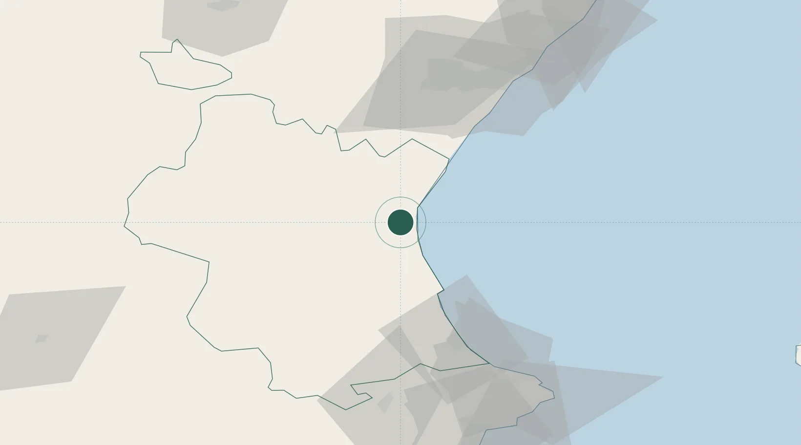
Valencia
39.4569°, -0.3918°
824,340
Population
5
Transport functions
3
Container terminals
Transport Functions
Port
Rail
Road
Airport
Postal
Hub Profile
Place type
Regional capital
Region
Valencia
Population
824,340
Time zone
Europe/Madrid
Elevation
15 m
Logistics facilities
18
Container terminals
3
Location
Nearby Logistics Neighbours
Ports
- 1Sagunto26 km
- 2Puerto De Gandia55 km
- 3Burriana56 km
- 4El Grao67 km
- 5Alicante125 km
Airports
Trade Zones
DatabookThe Record of Consolidated Knowledge
Spain beyond logistics?