Transport Functions
Port
Hub Profile
Place type
District seat
Region
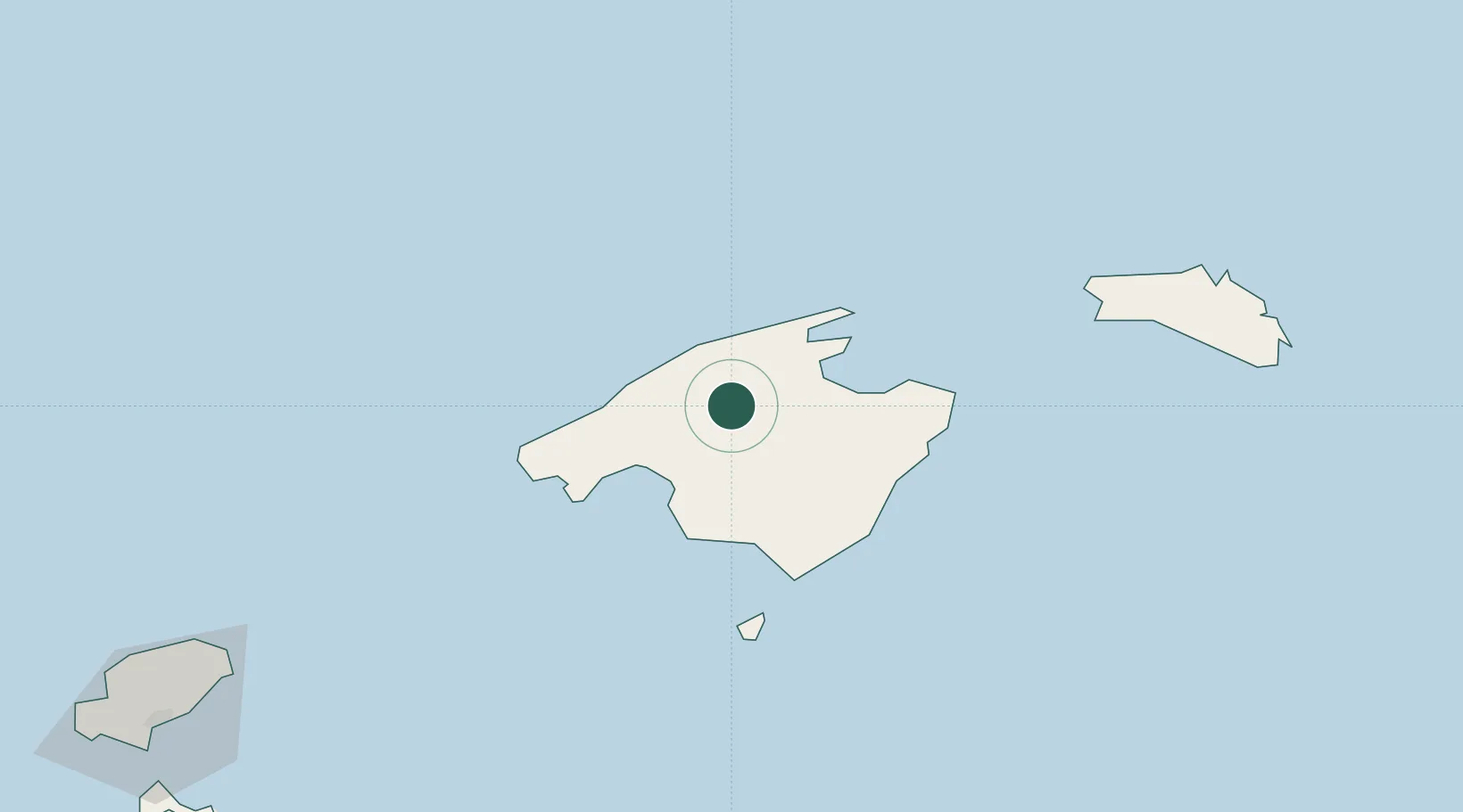
Balearic Islands
Population
29,308
Time zone
Europe/Madrid
Elevation
127 m
Location
Nearby Logistics Neighbours
Cities
- 1Lloseta3 km
- 2Binissalem7 km
- 3Alaro10 km
- 4Escorca12 km
- 5Santa Margalida17 km
Ports
- 1Puerto De Alcudia24 km
- 2Palma De Mallorca28 km
- 3Mahon118 km
- 4Ibiza154 km
- 5Barcelona192 km
Airports
- 1Palma de Mallorca Airport23 km
- 2Menorca Airport114 km
- 3Ibiza Airport161 km
- 4Josep Tarradellas Barcelona-El Prat Airport189 km
- 5Reus Airport216 km
Trade Zones
- 1Zona Franca de Barcelona192 km
- 2Depósito Franco de Tarragona209 km
- 3Depósito Franco de Valencia277 km
- 4Depósito Franco de Alicante331 km
- 5ZFU Perpignan332 km
DatabookThe Record of Consolidated Knowledge
Spain beyond logistics?