Transport Functions
Multimodal
Hub Profile
Place type
Populated place
Region
Ústecký kraj
Population
13,687
Time zone
Europe/Prague
Elevation
325 m
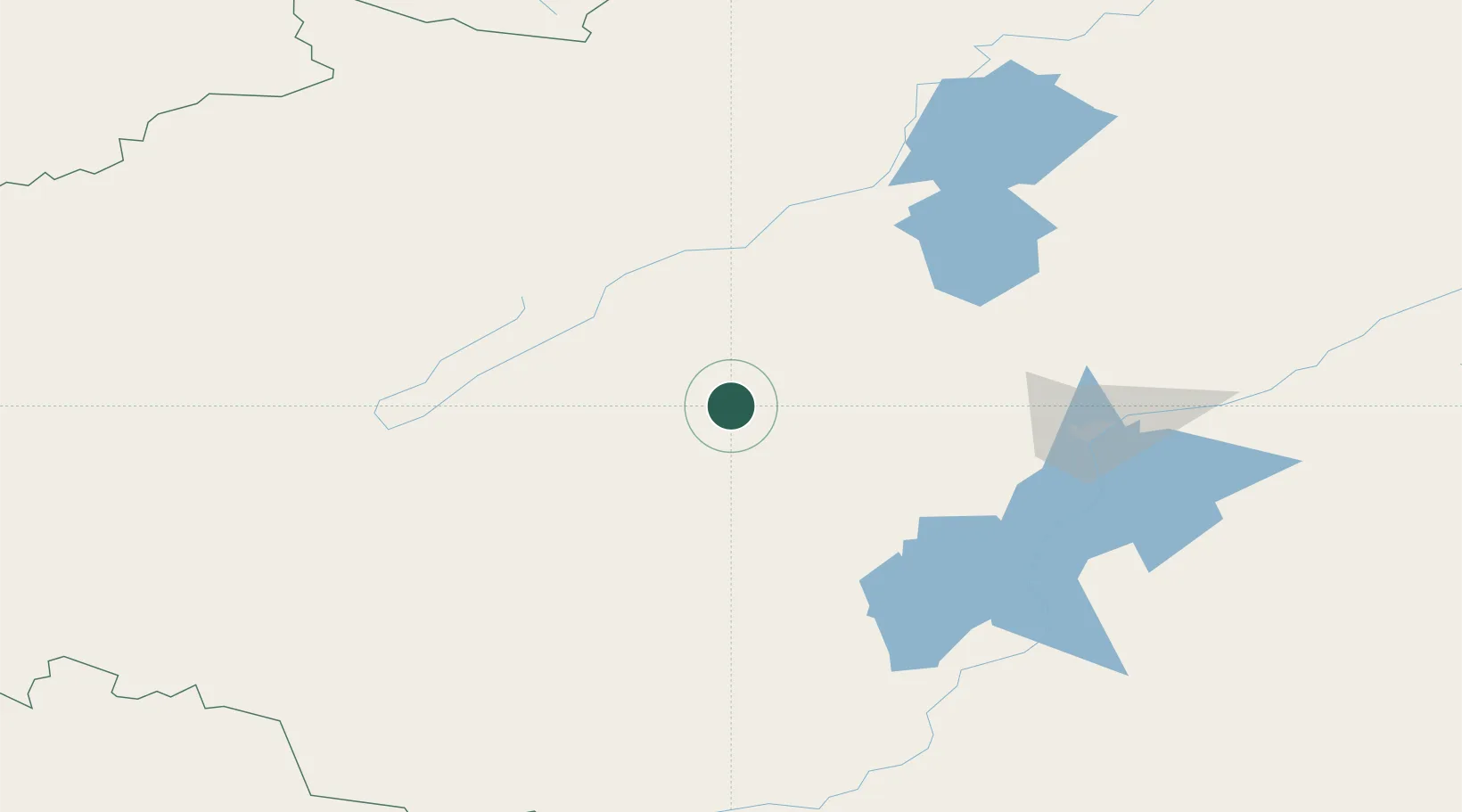
Location
Nearby Logistics Neighbours
Cities
- 1Amursk123 km
- 2March212 km
- 3Khabarovsk249 km
- 4Fuyuan270 km
- 5Freienbrink283 km
Ports
- 1De Kastri391 km
- 2Bukhta Vanino397 km
- 3Sovetskaya Gavan402 km
- 4Nikolayevsk Na Amur460 km
- 5Lazarev461 km
Airports
- 1Komsomolsk-on-Amur Airport117 km
- 2Dzemgi Airport124 km
- 3Khabarovsk Novy Airport240 km
- 4Fuyuan Dongji Airport285 km
- 5Bichevaya Airport327 km
DatabookThe Record of Consolidated Knowledge
Czechia beyond logistics?