Transport Functions
Port
Hub Profile
Place type
Provincial seat
Region
Khabarovsk
Population
46,993
Time zone
Asia/Vladivostok
Elevation
45 m
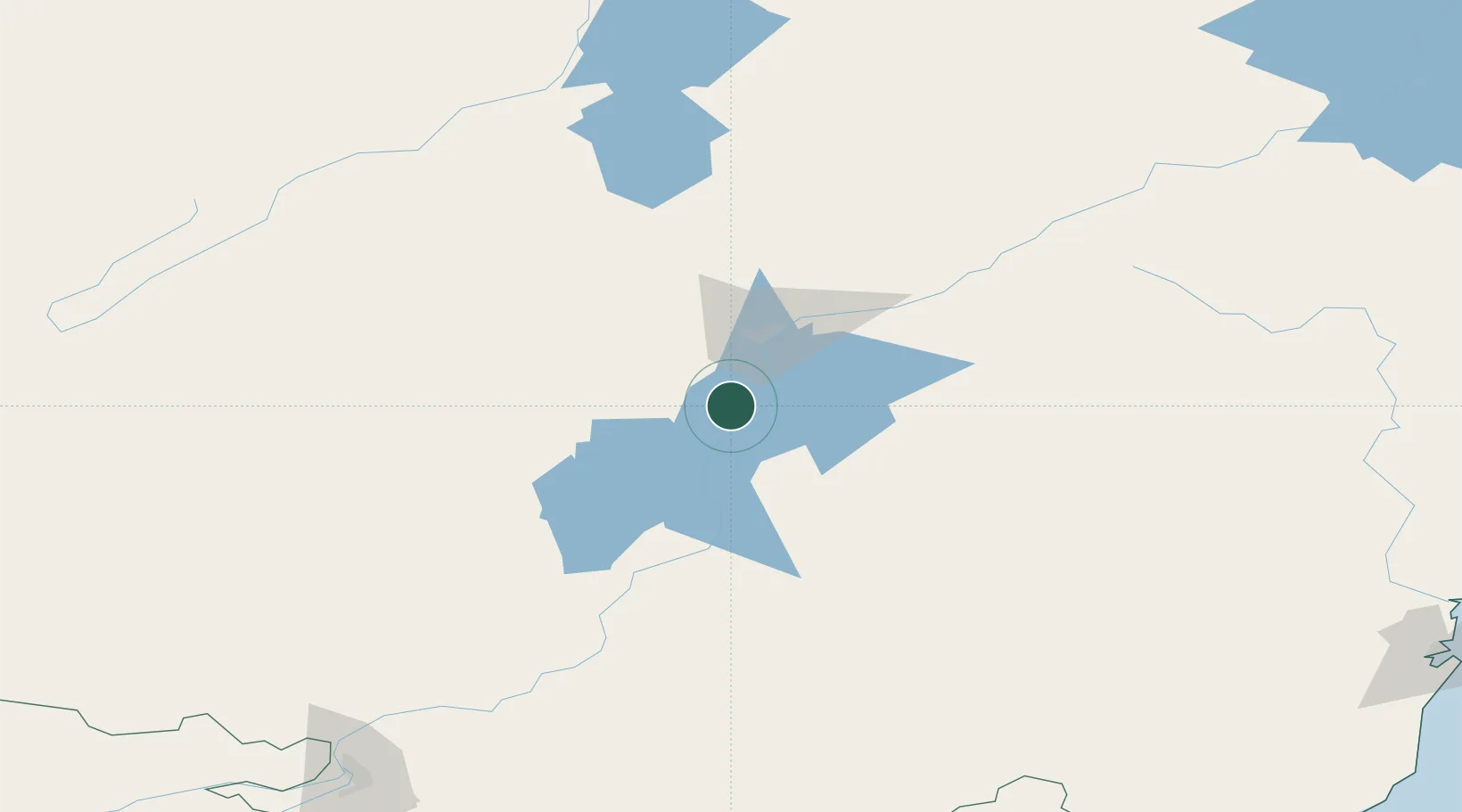
Location
Nearby Logistics Neighbours
Cities
- 1Krupka123 km
- 2Khabarovsk235 km
- 3Kosor246 km
- 4March250 km
- 5Siziman255 km
Ports
- 1Bukhta Vanino274 km
- 2Sovetskaya Gavan279 km
- 3De Kastri306 km
- 4Mys Rogatyy Oktyabrskiy372 km
- 5Aleksandrovsk -Sakhalinskiy377 km
Airports
- 1Komsomolsk-on-Amur Airport22 km
- 2Dzemgi Airport45 km
- 3Khabarovsk Novy Airport225 km
- 4Kamenny Ruchey Naval Air Base261 km
- 5Sovetskaya Gavan (Maygatka) Airport268 km
Trade Zones
DatabookThe Record of Consolidated Knowledge
Russia beyond logistics?