UN/LOCODE hub · Italy
ITLPT

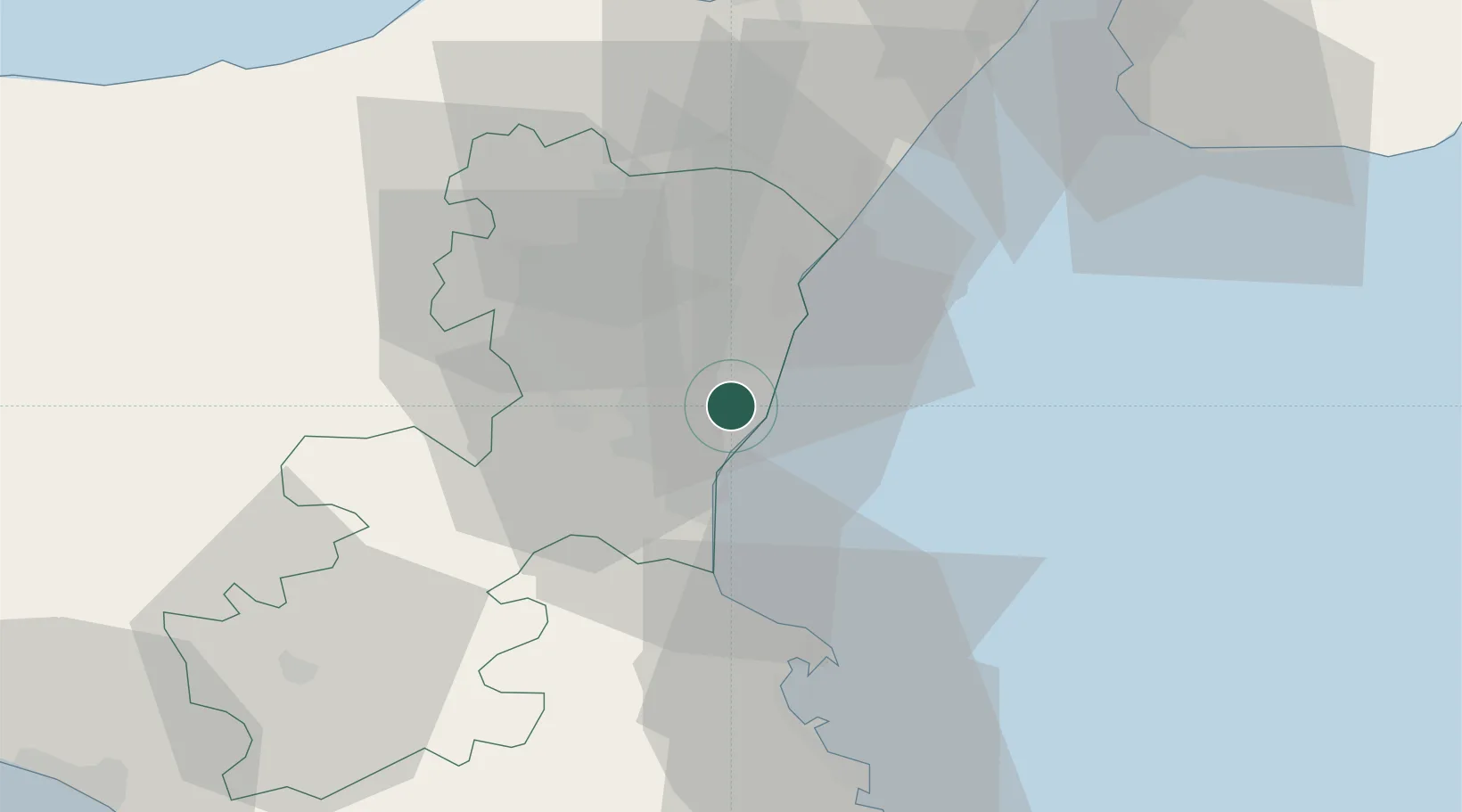
San Giovanni la Punta

37.5833°, 15.1167°
22,046
Population
2
Transport functions

Transport Functions

Rail
Road
UN/LOCODE

Hub Profile

Place type
District seat
GeoNames
Region
Sicily
GeoNames
Population
22,046
GeoNames
Time zone
Europe/Rome
GeoNames
Elevation
350 m
GeoNames

Location

Location of ITLPT
Natural Earth 10m (public domain) · Sicily · ITLPT · 37.58, 15.12GoogleOSMYandex

Nearby Logistics Neighbours

Cities
  1. 1Valverde2 km
  2. 2Aci Sant'Antonio2 km
  3. 3Tremestieri Etneo3 km
  4. 4Aci Castello4 km
  5. 5Aci Trezza5 km
Nearest neighbours — logibook spatial index (haversine) over the source coordinates
Ports
  1. 1Catania9 km
  2. 2Riposta19 km
  3. 3Giardini Naxos31 km
  4. 4Augusta42 km
  5. 5Santa Panagia59 km
Nearest neighbours — logibook spatial index (haversine) over the source coordinates
Airports
  1. 1Catania-Fontanarossa Airport14 km
  2. 2Sigonella Navy Air Base27 km
  3. 3Reggio Calabria Airport72 km
  4. 4Comiso Airport79 km
  5. 5Palermo-Boccadifalco Airport169 km
Nearest neighbours — logibook spatial index (haversine) over the source coordinates
Trade Zones
  1. 1Sicily Special Economic Zone Area74 km
  2. 2Malta Freeport203 km
  3. 3Calabria Special Economic Zone215 km
  4. 4Basilicata Special Economic Zone328 km
  5. 5Campania Special Economic Zone (Naples and Salerno)373 km
Nearest neighbours — logibook spatial index (haversine) over the source coordinates
DatabookThe Record of Consolidated Knowledge
Italy beyond logistics?
Browse databook

All Sources

LocationsUN/LOCODE
UN/LOCODE — free
LocationsGeoNames
CC BY 4.0
Portsthe NGA World Port Index
Public domain (US gov)
AirportsOurAirports
Public domain
Trade Zonesthe World Bank SEZ database
CC BY 4.0
Trade ZonesOpen Zone Map
CC BY
← Italy locations