Transport Functions
Port
Rail
Road
Hub Profile
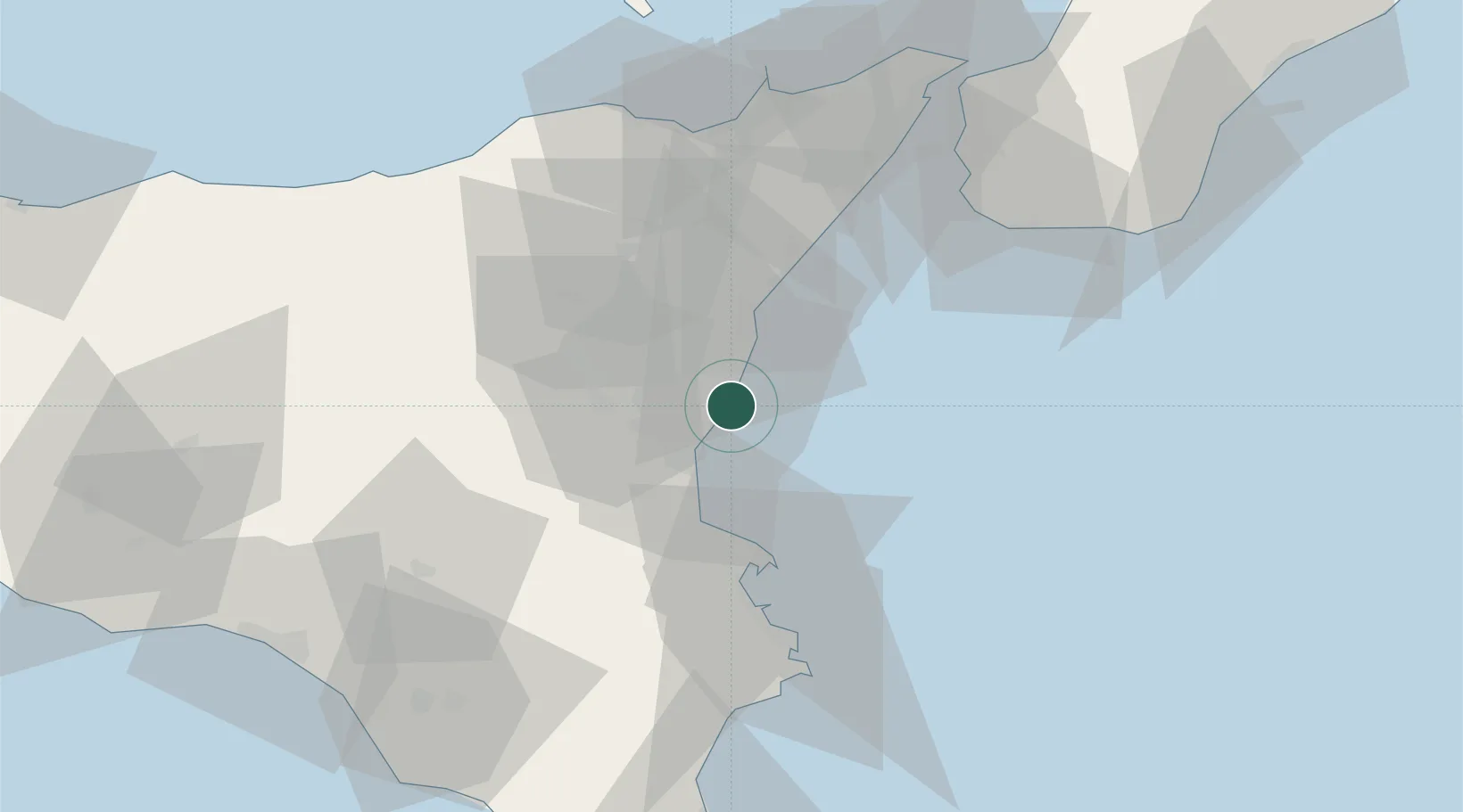
Place type
Populated place
Region
Sicily
Population
5,000
Time zone
Europe/Rome
Elevation
20 m
Location
Nearby Logistics Neighbours
Cities
- 1Aci Castello4 km
- 2Valverde4 km
- 3San Giovanni la Punta5 km
- 4Aci Sant'Antonio6 km
- 5Tremestieri Etneo8 km
Ports
- 1Catania10 km
- 2Riposta19 km
- 3Giardini Naxos31 km
- 4Augusta39 km
- 5Santa Panagia57 km
Airports
- 1Catania-Fontanarossa Airport14 km
- 2Sigonella Navy Air Base28 km
- 3Reggio Calabria Airport70 km
- 4Comiso Airport80 km
- 5Palermo-Boccadifalco Airport174 km
Trade Zones
DatabookThe Record of Consolidated Knowledge
Italy beyond logistics?