UN/LOCODE hub · Maldives
MVKDP

Kulhudhuffushi Port

6.6167°, 73.0667°
1
Transport functions

Transport Functions

Port
UN/LOCODE

Hub Profile

Region
23
GeoNames

Location

Location of MVKDP
Natural Earth 10m (public domain) · 23 · MVKDP · 6.62, 73.07GoogleOSMYandex

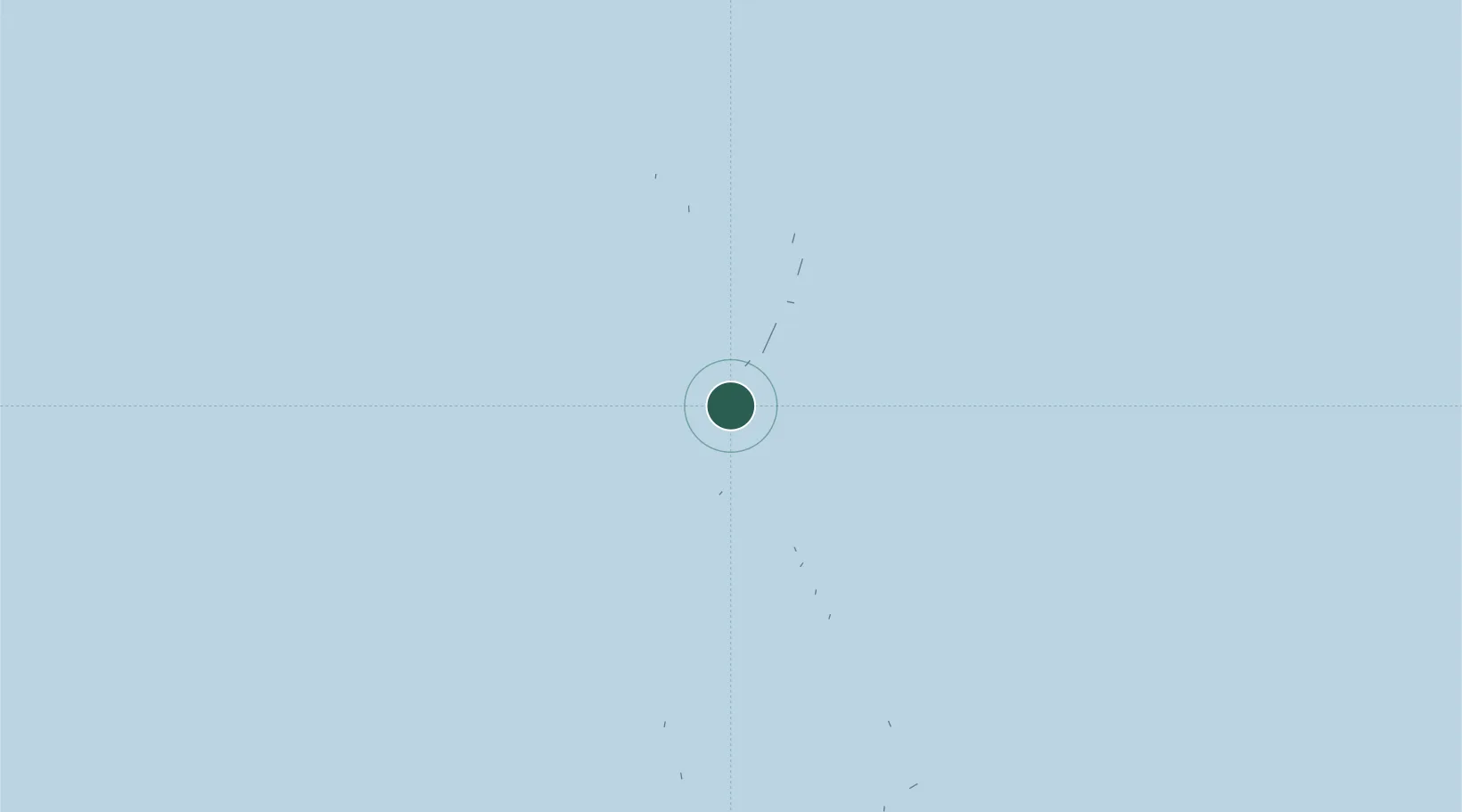
Nearby Logistics Neighbours

Cities
  1. 1Kulhudhuffushi2 km
  2. 2Baa Atoll165 km
  3. 3Villa Hakatha274 km
  4. 4Maldive Gas274 km
  5. 5Hulhulé Island275 km
Nearest neighbours — logibook spatial index (haversine) over the source coordinates
Ports
  1. 1Male277 km
  2. 2Quilon (Kollam)462 km
  3. 3Trivandrum476 km
  4. 4Kochi (Cochin)510 km
  5. 5Beypore588 km
Nearest neighbours — logibook spatial index (haversine) over the source coordinates
Airports
  1. 1Kulhudhuffushi Airport2 km
  2. 2Hanimaadhoo International Airport18 km
  3. 3Hoarafushi Airport44 km
  4. 4Funadhoo Airport56 km
  5. 5Maafaru International Airport99 km
Nearest neighbours — logibook spatial index (haversine) over the source coordinates
DatabookThe Record of Consolidated Knowledge
Maldives beyond logistics?
Browse databook

All Sources

LocationsUN/LOCODE
UN/LOCODE — free
Portsthe NGA World Port Index
Public domain (US gov)
AirportsOurAirports
Public domain
Trade Zonesthe World Bank SEZ database
CC BY 4.0
Trade ZonesOpen Zone Map
CC BY
← Maldives locations