Transport Functions
Multimodal
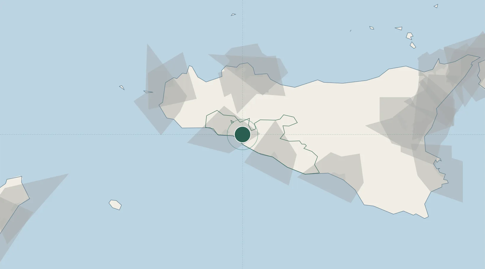
Hub Profile
Place type
District seat
Region
Sicily
Population
17,664
Time zone
Europe/Rome
Elevation
223 m
Location
Nearby Logistics Neighbours
Cities
- 1Sciacca19 km
- 2Porto Palo33 km
- 3Cammarata36 km
- 4San Giovanni Gemini37 km
- 5Ciminna38 km
Ports
- 1Sciacca17 km
- 2Porto Empedocle34 km
- 3Mazara Del Vallo62 km
- 4Termini Imerese67 km
- 5Castellammare Del Golfo68 km
Airports
- 1Palermo-Boccadifalco Airport69 km
- 2Falcone–Borsellino Airport77 km
- 3Vincenzo Florio Airport Trapani-Birgi82 km
- 4Comiso Airport131 km
- 5Pantelleria Airport138 km
Trade Zones
DatabookThe Record of Consolidated Knowledge
Italy beyond logistics?