Transport Functions
Multimodal
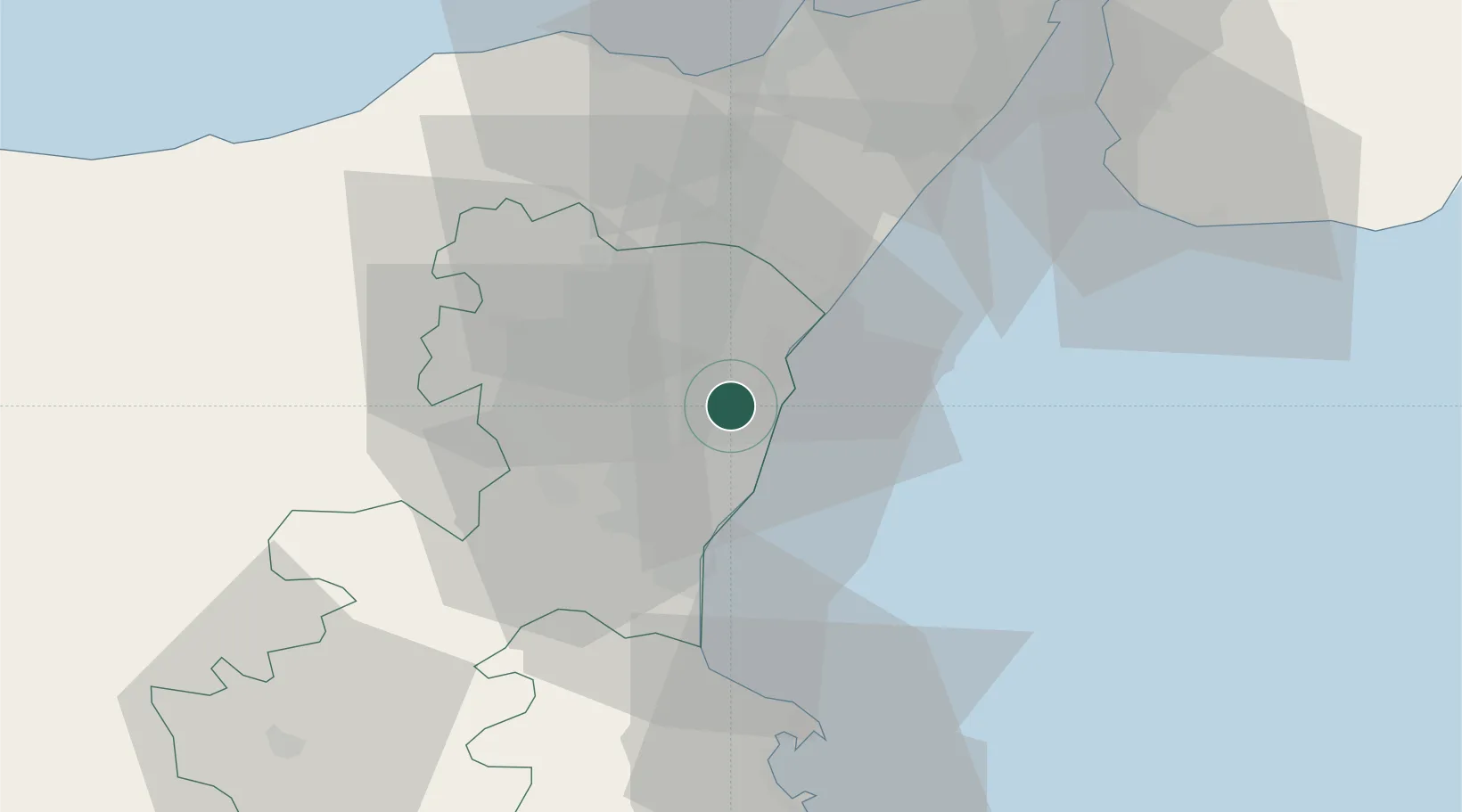
Hub Profile
Place type
District seat
Region
Sicily
Population
5,000
Time zone
Europe/Rome
Elevation
337 m
Location
Nearby Logistics Neighbours
Cities
- 1Carruba4 km
- 2Giarre6 km
- 3Pozzillo6 km
- 4Riposto8 km
- 5Aci Sant'Antonio9 km
Ports
- 1Riposta9 km
- 2Giardini Naxos20 km
- 3Catania21 km
- 4Augusta53 km
- 5Milazzo60 km
Airports
- 1Catania-Fontanarossa Airport25 km
- 2Sigonella Navy Air Base36 km
- 3Reggio Calabria Airport63 km
- 4Comiso Airport89 km
- 5Palermo-Boccadifalco Airport167 km
Trade Zones
DatabookThe Record of Consolidated Knowledge
Italy beyond logistics?