Transport Functions
Rail
Road
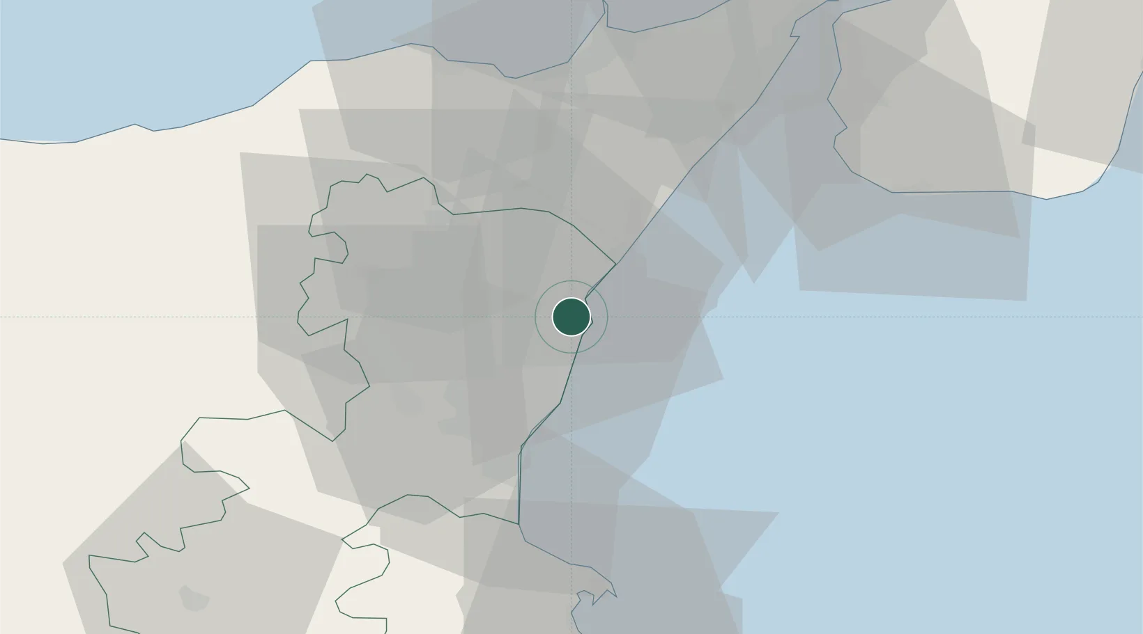
Hub Profile
Place type
District seat
Region
Sicily
Population
24,138
Time zone
Europe/Rome
Elevation
210 m
Location
Nearby Logistics Neighbours
Cities
- 1Riposto2 km
- 2Carruba4 km
- 3Santa Venerina6 km
- 4Pozzillo7 km
- 5Piedimonte Etneo9 km
Ports
- 1Riposta3 km
- 2Giardini Naxos15 km
- 3Catania25 km
- 4Augusta56 km
- 5Milazzo56 km
Airports
Trade Zones
DatabookThe Record of Consolidated Knowledge
Italy beyond logistics?