UN/LOCODE hub · Italy
ITAIO
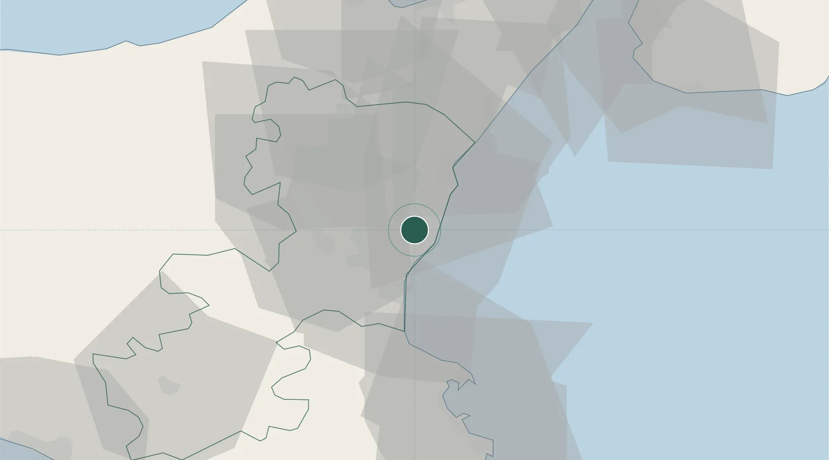
Aci Sant'Antonio
37.6000°, 15.1167°
10,373
Population
2
Transport functions
Transport Functions
Road
Multimodal
Hub Profile
Place type
District seat
Region
Sicily
Population
10,373
Time zone
Europe/Rome
Elevation
302 m
Location
Nearby Logistics Neighbours
Cities
- 1San Giovanni la Punta2 km
- 2Tremestieri Etneo4 km
- 3Valverde4 km
- 4Aci Castello6 km
- 5Aci Trezza6 km
Ports
- 1Catania11 km
- 2Riposta17 km
- 3Giardini Naxos29 km
- 4Augusta44 km
- 5Santa Panagia61 km
Airports
- 1Catania-Fontanarossa Airport16 km
- 2Sigonella Navy Air Base28 km
- 3Reggio Calabria Airport70 km
- 4Comiso Airport81 km
- 5Palermo-Boccadifalco Airport168 km
Trade Zones
DatabookThe Record of Consolidated Knowledge
Italy beyond logistics?