Transport Functions
Rail
Road
Multimodal
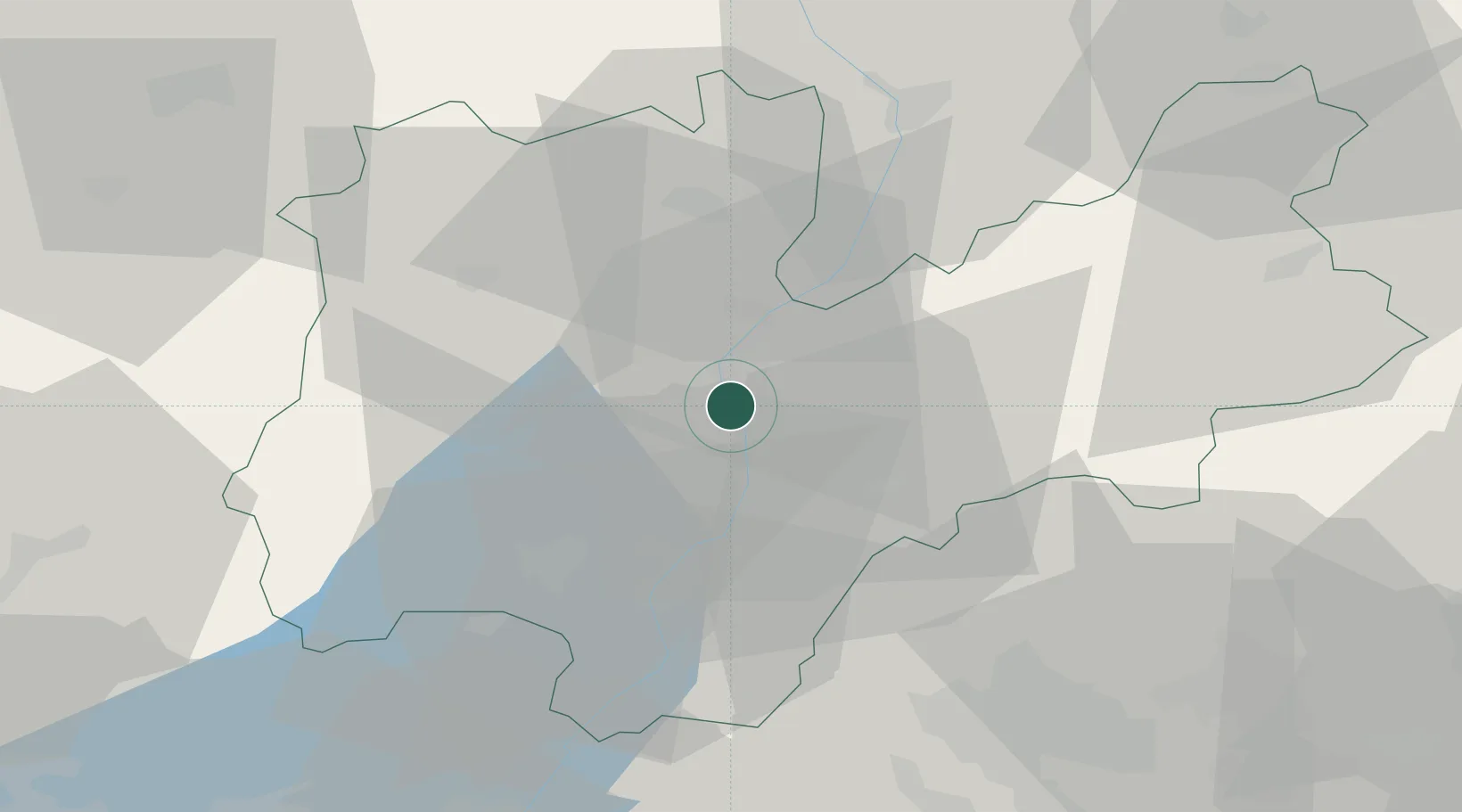
Hub Profile
Place type
Regional capital
Region
Trentino-Alto Adige
Population
120,709
Time zone
Europe/Rome
Elevation
194 m
Logistics facilities
1
Location
Nearby Logistics Neighbours
Cities
- 1Lavis4 km
- 2Albiano8 km
- 3Faedo10 km
- 4Pietramurata16 km
- 5Caldonazzo18 km
Ports
- 1Porto Di Lido-Venezia129 km
- 2Porto Di Chioggia135 km
- 3Nogaro165 km
- 4Grado176 km
- 5Porto Garibaldi182 km
Airports
Trade Zones
DatabookThe Record of Consolidated Knowledge
Italy beyond logistics?