Transport Functions
Multimodal
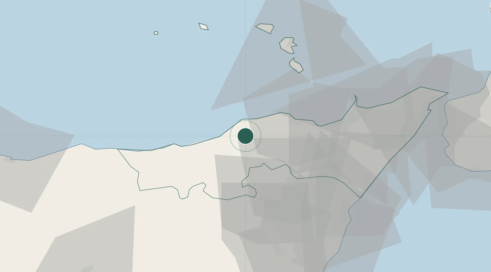
Hub Profile
Place type
District seat
Region
Sicily
Population
874
Time zone
Europe/Rome
Elevation
428 m
Location
Nearby Logistics Neighbours
Cities
- 1Rocca di Capri Leone5 km
- 2Capo d'Orlando9 km
- 3Brolo10 km
- 4Gioiosa Marea16 km
- 5Patti20 km
Ports
- 1Milazzo46 km
- 2Lipari48 km
- 3Giardini Naxos54 km
- 4Riposta56 km
- 5Catania72 km
Airports
- 1Catania-Fontanarossa Airport74 km
- 2Sigonella Navy Air Base77 km
- 3Reggio Calabria Airport79 km
- 4Comiso Airport122 km
- 5Palermo-Boccadifalco Airport126 km
Trade Zones
DatabookThe Record of Consolidated Knowledge
Italy beyond logistics?