Transport Functions
Port
Road
Hub Profile
Place type
District seat
Region
Sicily
Population
5,790
Time zone
Europe/Rome
Elevation
204 m
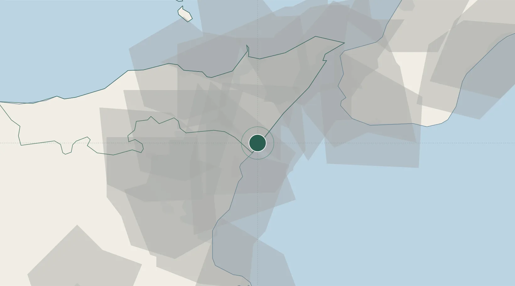
Location
Nearby Logistics Neighbours
Cities
- 1Giardini Naxos4 km
- 2Calatabiano6 km
- 3Piedimonte Etneo9 km
- 4Riposto15 km
- 5Giarre17 km
Ports
- 1Giardini Naxos3 km
- 2Riposta14 km
- 3Milazzo41 km
- 4Catania42 km
- 5Reggio Di Calabria45 km
Airports
Trade Zones
DatabookThe Record of Consolidated Knowledge
Italy beyond logistics?