Transport Functions
Rail
Road
Hub Profile
Region
RC
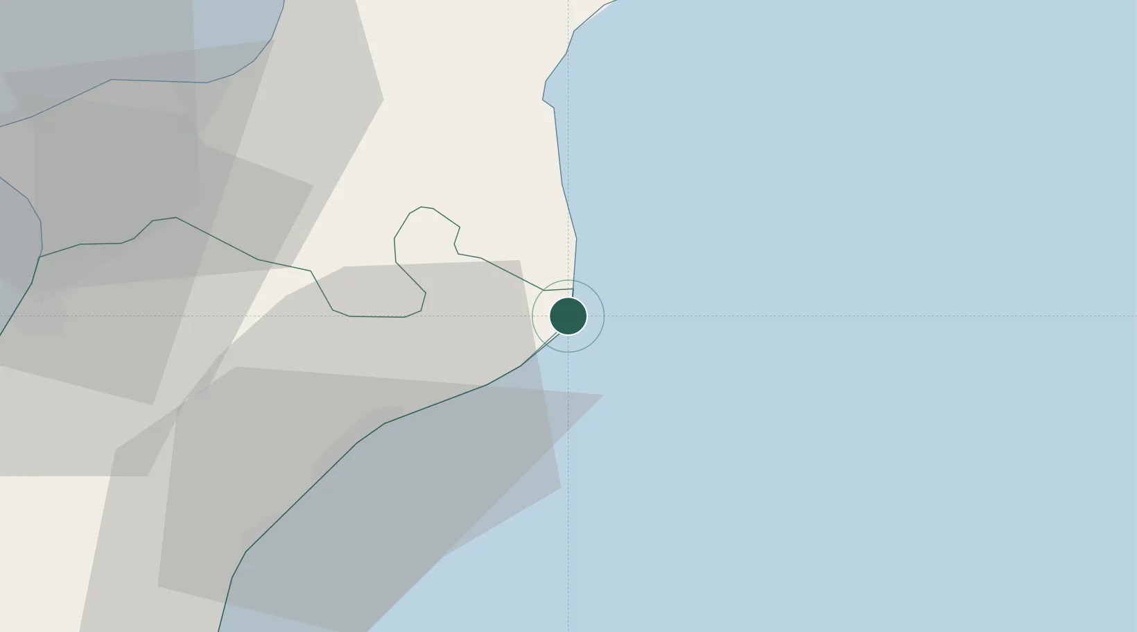
Location
Nearby Logistics Neighbours
Cities
- 1Guardavalle9 km
- 2Roccella Ionica20 km
- 3Gioiosa Ionica26 km
- 4Marina di Davoli26 km
- 5Soverato28 km
Ports
- 1Vibo Valentia Marina50 km
- 2Gioia Tauro59 km
- 3Villa San Giovanni85 km
- 4Reggio Di Calabria87 km
- 5Crotone87 km
Airports
Trade Zones
DatabookThe Record of Consolidated Knowledge
Italy beyond logistics?