Transport Functions
Port
Rail
Road
Hub Profile
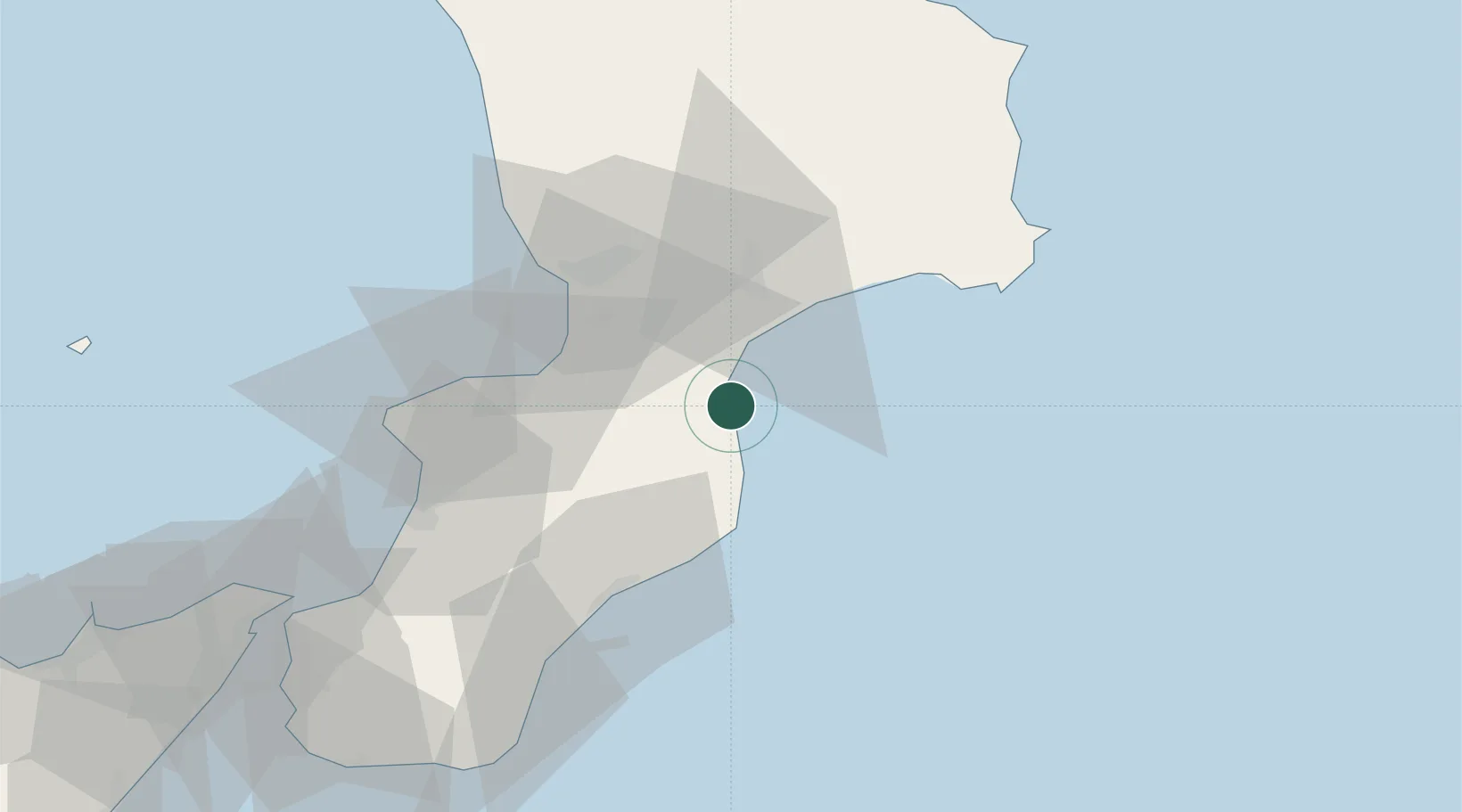
Place type
Populated place
Region
Calabria
Population
3,519
Time zone
Europe/Rome
Elevation
10 m
Location
Nearby Logistics Neighbours
Cities
- 1Soverato2 km
- 2Copanello11 km
- 3Guardavalle19 km
- 4Marina di Monasterace26 km
- 5Francavilla Angitola27 km
Ports
- 1Vibo Valentia Marina37 km
- 2Gioia Tauro63 km
- 3Crotone68 km
- 4Ciro Marina93 km
- 5Villa San Giovanni94 km
Airports
DatabookThe Record of Consolidated Knowledge
Italy beyond logistics?