Transport Functions
Port
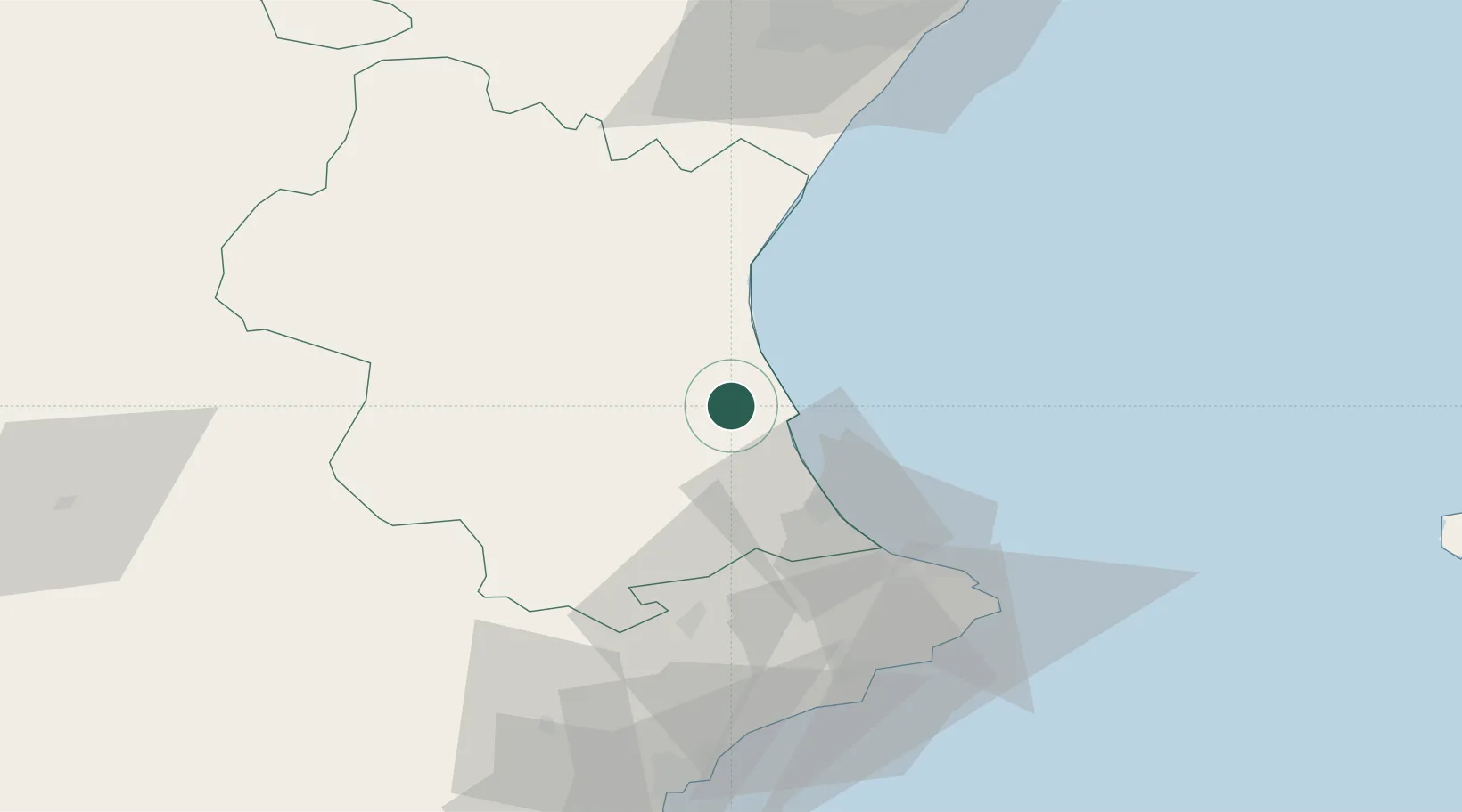
Location
Nearby Logistics Neighbours
Cities
- 1Benicull2 km
- 2Corbera6 km
- 3Algemesí6 km
- 4Llauri6 km
- 5Benimuslem13 km
Ports
- 1Valencia28 km
- 2Puerto De Gandia29 km
- 3Sagunto52 km
- 4Burriana81 km
- 5El Grao91 km
Airports
Trade Zones
DatabookThe Record of Consolidated Knowledge
Spain beyond logistics?