Transport Functions
Rail
Road
Hub Profile
Place type
District seat
Region
Castille-La Mancha
Population
2,831
Time zone
Europe/Madrid
Elevation
417 m
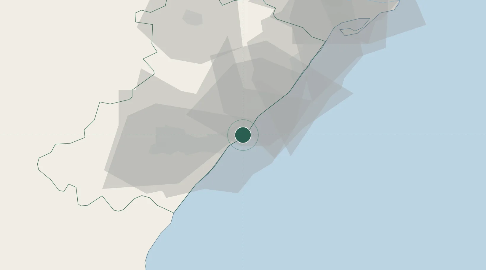
Location
Nearby Logistics Neighbours
Cities
- 1Castellón de la Plana15 km
- 2El Grao16 km
- 3Useras27 km
- 4Alquerías del niño perdido31 km
- 5Betxi33 km
Ports
- 1El Grao16 km
- 2Burriana27 km
- 3Sagunto57 km
- 4Valencia80 km
- 5Puerto De Gandia123 km
Airports
- 1Castellón-Costa Azahar Airport15 km
- 2Valencia Airport84 km
- 3Teruel Airport120 km
- 4Reus Airport147 km
- 5Ibiza Airport172 km
Trade Zones
- 1Depósito Franco de Valencia80 km
- 2Depósito Franco de Tarragona148 km
- 3Depósito Franco de Zaragoza189 km
- 4Depósito Franco de Alicante202 km
- 5Zona Franca de Barcelona218 km
DatabookThe Record of Consolidated Knowledge
Spain beyond logistics?