Transport Functions
Multimodal
Hub Profile
Place type
District seat
Region
Valencia
Population
5,902
Time zone
Europe/Madrid
Elevation
96 m
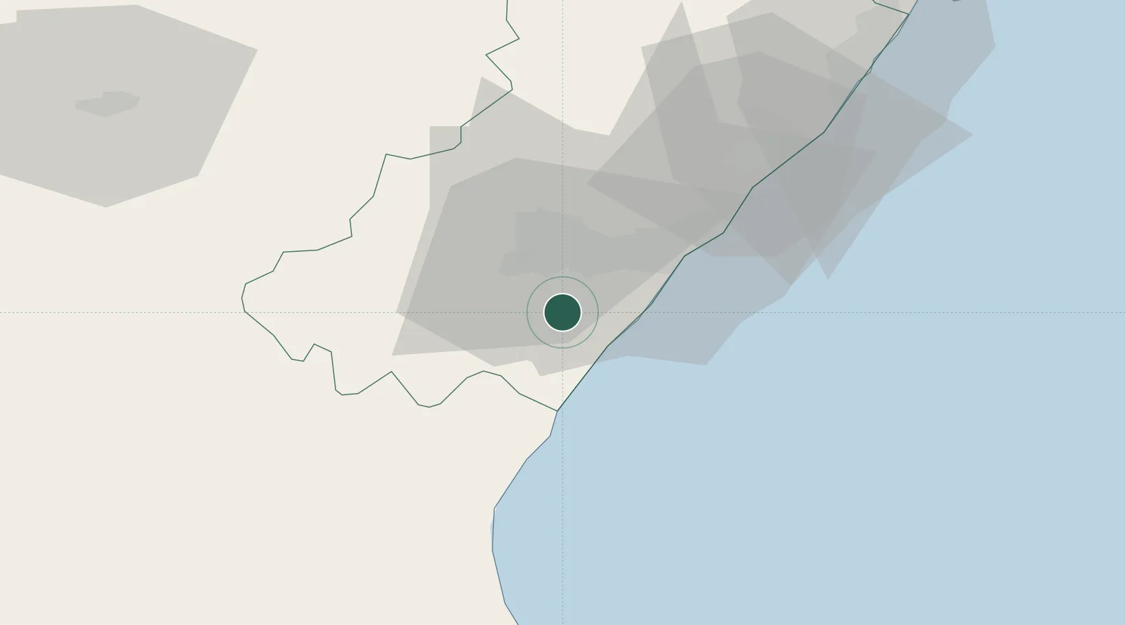
Location
Nearby Logistics Neighbours
Cities
- 1Alquerías del niño perdido7 km
- 2El Grao18 km
- 3Castellón de la Plana19 km
- 4Useras26 km
- 5Puerto de Sagunto30 km
Ports
- 1Burriana12 km
- 2El Grao18 km
- 3Sagunto30 km
- 4Valencia53 km
- 5Puerto De Gandia102 km
Airports
- 1Castellón-Costa Azahar Airport40 km
- 2Valencia Airport54 km
- 3Teruel Airport104 km
- 4Ibiza Airport177 km
- 5Reus Airport178 km
Trade Zones
- 1Depósito Franco de Valencia53 km
- 2Depósito Franco de Alicante178 km
- 3Depósito Franco de Tarragona180 km
- 4Depósito Franco de Zaragoza198 km
- 5Zona Franca de Barcelona251 km
DatabookThe Record of Consolidated Knowledge
Spain beyond logistics?