Transport Functions
Port
Multimodal
Hub Profile
Place type
District seat
Region
Valencia
Population
441
Time zone
Europe/Madrid
Elevation
293 m
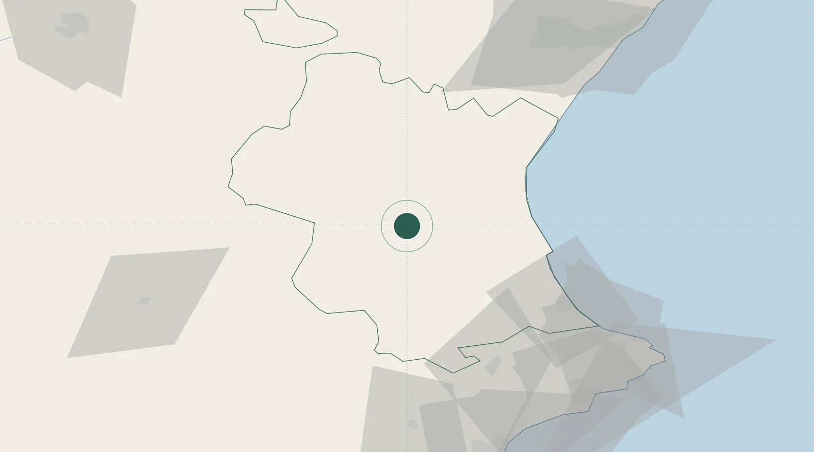
Location
Nearby Logistics Neighbours
Cities
- 1Real de Montroy18 km
- 2Monserrat20 km
- 3Benimodo26 km
- 4Montortal28 km
- 5La Portera29 km
Ports
- 1Valencia46 km
- 2Puerto De Gandia64 km
- 3Sagunto65 km
- 4Burriana93 km
- 5El Grao103 km
Airports
Trade Zones
DatabookThe Record of Consolidated Knowledge
Spain beyond logistics?