Transport Functions
Port
Road
Hub Profile
Place type
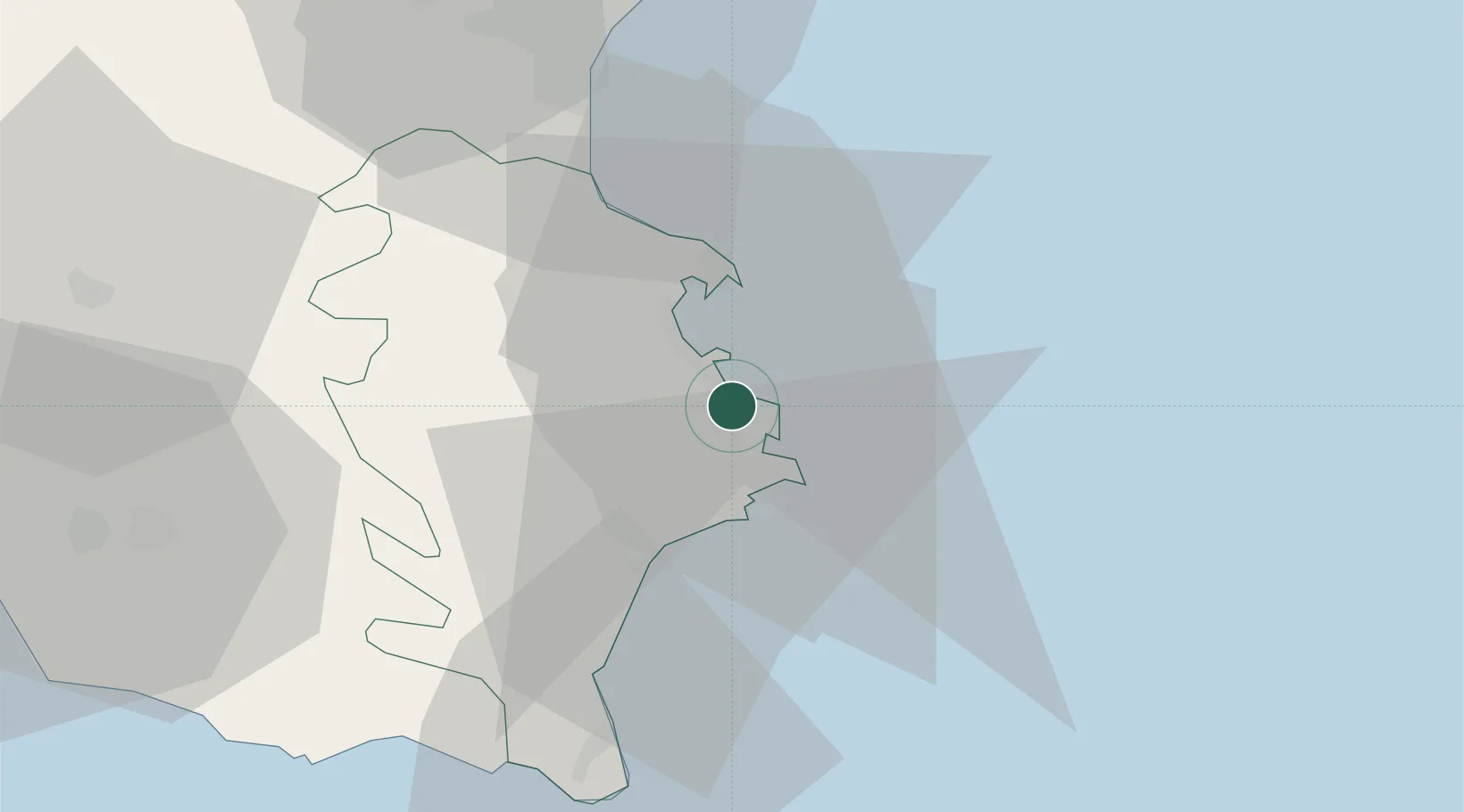
Populated place
Region
Sicily
Time zone
Europe/Rome
Elevation
61 m
Location
Nearby Logistics Neighbours
Cities
- 1Pier Isab2 km
- 2Priolo Gargallo8 km
- 3Floridia9 km
- 4Ognina13 km
- 5Augusta13 km
Airports
- 1Catania-Fontanarossa Airport44 km
- 2Sigonella Navy Air Base44 km
- 3Comiso Airport58 km
- 4Reggio Calabria Airport114 km
- 5Xewkija Heliport148 km
Trade Zones
DatabookThe Record of Consolidated Knowledge
Italy beyond logistics?