UN/LOCODE hub · Italy
ITMPS

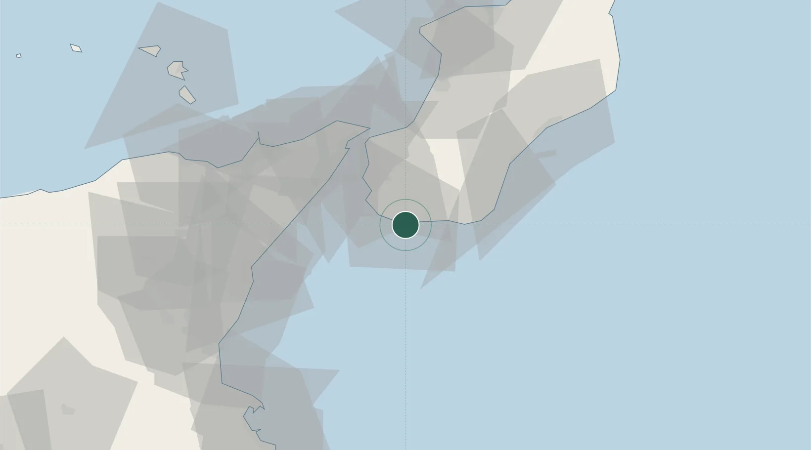
Melito di Porto Salvo

37.9167°, 15.7833°
9,663
Population
3
Transport functions

Transport Functions

Port
Rail
Road
UN/LOCODE

Hub Profile

Place type
District seat
GeoNames
Region
Calabria
GeoNames
Population
9,663
GeoNames
Time zone
Europe/Rome
GeoNames
Elevation
28 m
GeoNames

Location

Location of ITMPS
Natural Earth 10m (public domain) · Calabria · ITMPS · 37.92, 15.78GoogleOSMYandex

Nearby Logistics Neighbours

Cities
  1. 1Saline, Reggio Calabria8 km
  2. 2Bova Marina12 km
  3. 3San Leo di Pellaro18 km
  4. 4Reggio di Calabria24 km
  5. 5Mili Marina32 km
Nearest neighbours — logibook spatial index (haversine) over the source coordinates
Ports
  1. 1Reggio Di Calabria26 km
  2. 2Villa San Giovanni37 km
  3. 3Messina37 km
  4. 4Giardini Naxos46 km
  5. 5Riposta54 km
Nearest neighbours — logibook spatial index (haversine) over the source coordinates
Airports
  1. 1Reggio Calabria Airport21 km
  2. 2Catania-Fontanarossa Airport81 km
  3. 3Sigonella Navy Air Base95 km
  4. 4Lamezia Terme Sant'Eufemia International Airport117 km
  5. 5Comiso Airport146 km
Nearest neighbours — logibook spatial index (haversine) over the source coordinates
Trade Zones
  1. 1Sicily Special Economic Zone Area139 km
  2. 2Calabria Special Economic Zone159 km
  3. 3Malta Freeport259 km
  4. 4Basilicata Special Economic Zone290 km
  5. 5Puglia (Apulia) Special Economic Zone Area344 km
Nearest neighbours — logibook spatial index (haversine) over the source coordinates
DatabookThe Record of Consolidated Knowledge
Italy beyond logistics?
Browse databook

All Sources

LocationsUN/LOCODE
UN/LOCODE — free
LocationsGeoNames
CC BY 4.0
Portsthe NGA World Port Index
Public domain (US gov)
AirportsOurAirports
Public domain
Trade Zonesthe World Bank SEZ database
CC BY 4.0
Trade ZonesOpen Zone Map
CC BY
← Italy locations