Transport Functions
Port
Road
Hub Profile
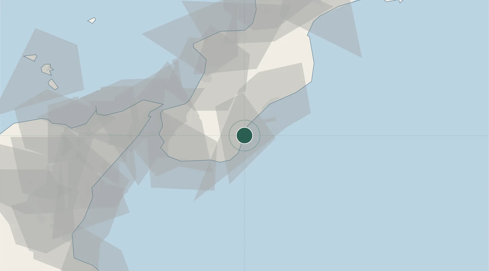
Place type
District seat
Region
Calabria
Population
3,543
Time zone
Europe/Rome
Elevation
12 m
Location
Nearby Logistics Neighbours
Cities
- 1Bovalino Marina8 km
- 2Portigliola18 km
- 3Siderno Marina24 km
- 4Bova Marina26 km
- 5Gioiosa Ionica31 km
Ports
- 1Reggio Di Calabria44 km
- 2Gioia Tauro46 km
- 3Villa San Giovanni48 km
- 4Messina53 km
- 5Vibo Valentia Marina71 km
Airports
Trade Zones
DatabookThe Record of Consolidated Knowledge
Italy beyond logistics?